Introduction | Exploring Medieval Village Territories | The Evolution of Post-medieval Village Territories | The Creation of Village Territories | The Development of Medieval Village Territories | Late Medieval Village Territories | Conclusions
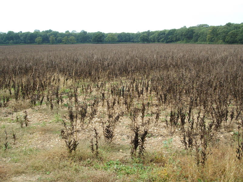
The greatest changes to the villagescape, however, lay in the fields. By 1500, enclosure had begun in small parts of each territory. But in general each farming landscape remained dominated by extensive open fields. A forest map of c. 1608 shows the parishes of Silverstone, Whittlebury and Passenham, where less than 5 per cent of land had been enclosed by the start of the 17th century (NR0 Map 4210). No greater disparity could be found between these open territories and neighbouring Lillingstone Dayrell, where an estate map of 1611 depicts a fully enclosed landscape (BRO D22/9/1).
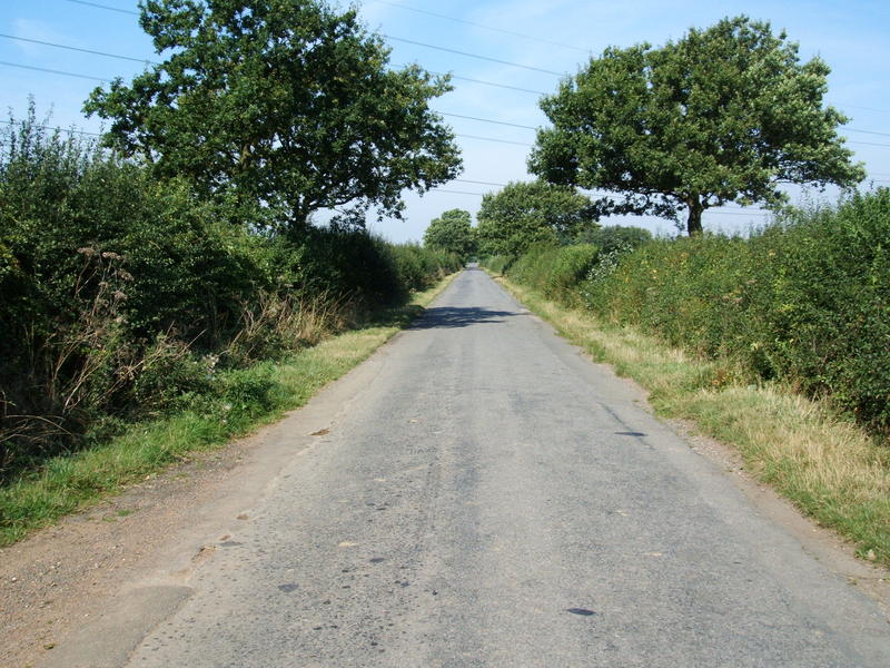
Private enclosure continued elsewhere but at different rates. Stowe was enclosed by the mid-17th century. By 1717, approximately 40 per cent of Wicken had been enclosed, the rest by agreement after 1757 (NRO Map 5692). In Potterspury the greater majority of the parish was enclosed by 1728 (NRO Map 358), and in Akeley around 20 per cent of land was described as 'old enclosure' in 1794 (NRO Map 842). The process of enclosure was both broadened in scope and accelerated in pace after 1772, when, over a couple of generations, first Deanshanger, then Potterspury (1776), Akeley (1794), Whittlebury (1797) and Silverstone (1824) were enclosed following Parliamentary acts (NRO Map 4213; NRO Map 842; NRO Map 6100; NRO ML2162). Enclosure also brought new opportunities for settlement; farms were quick to move from the village cores out into the recently created fields (Figure 7). By 1611, individual farmsteads were dotted around the new fieldscape of Lillingstone Dayrell and the same process is also seen in Akeley after 1794. The more regular geometric layout of the hedged fields also forced revisions in the communication network, as tracks which ran through the former open fields were abandoned, and significant stretches of surviving road were straightened (Figure 8). The road from Buckingham to Old Stratford, cutting through the territories of Leckhampstead, Wicken and Passenham was turnpiked by act of Parliament in 1815. This was a further change, since the road took a different line to an older arterial road whose route had already been disrupted by the cutting of the Buckingham branch of the Grand Union Canal in 1800-1 (VCH Northants, 414).
© Internet Archaeology
URL: http://intarch.ac.uk/journal/issue19/5/3.3.cfm
Last updated: Mon Sep 4 2006