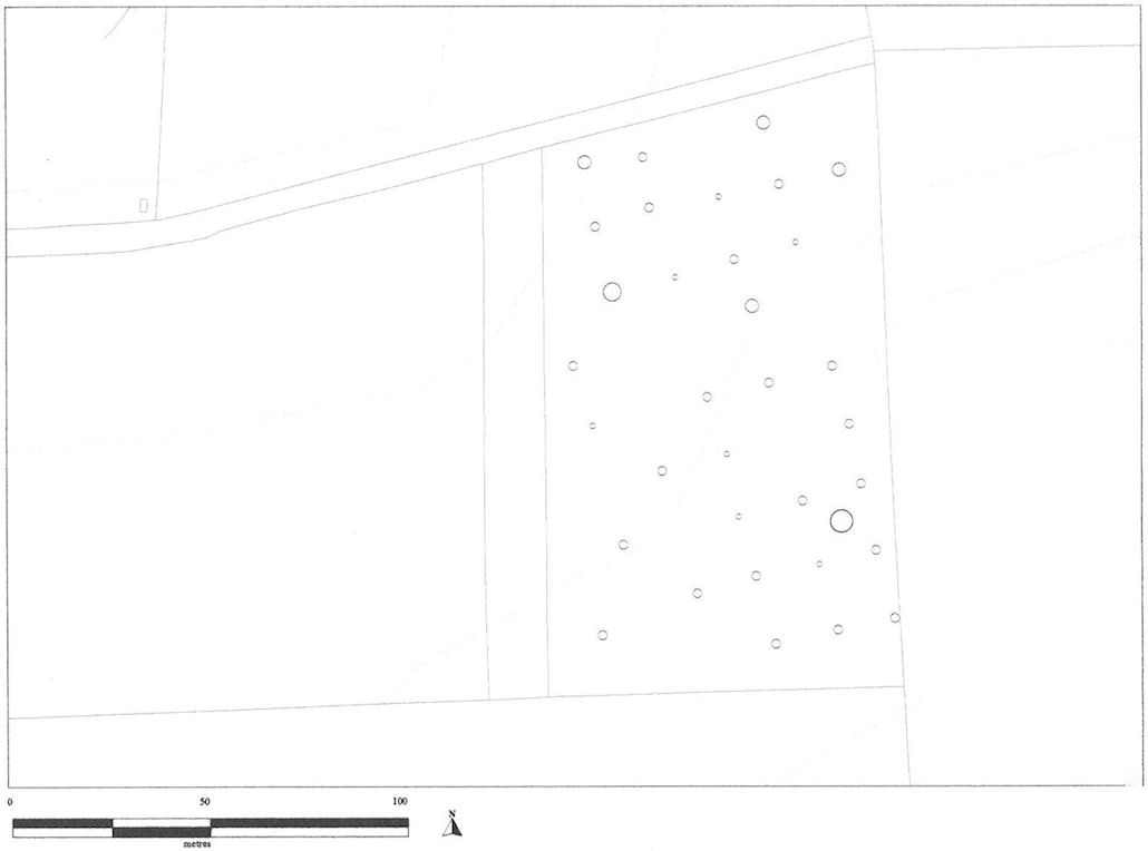
Figure 3. The location of the 20m grid-squares and the distribution of lithics across the the field surveyed at Fry's Hill, Axbridge on Mendip. Contours at 5m intervals OD; Field boundaries and roads are also marked. Ordnance Survey data, Licence Number: LA07683X