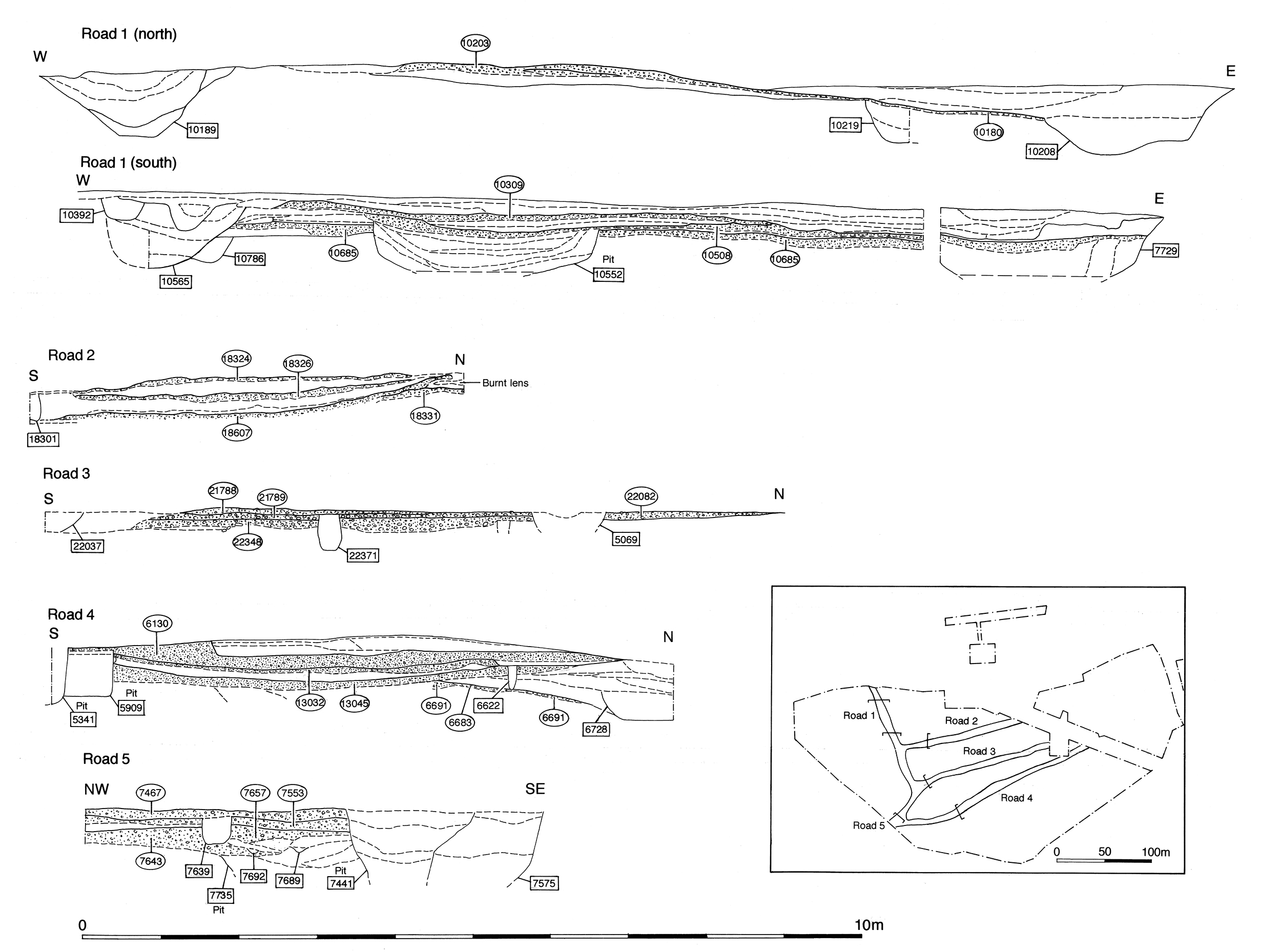
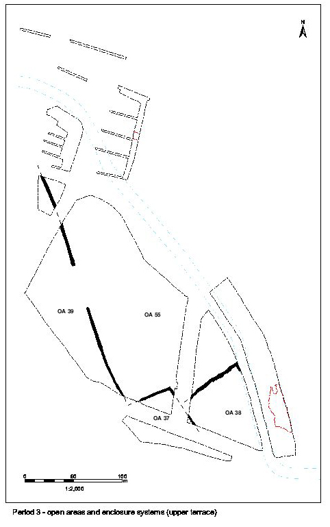
Road 5 is essentially only investigated in a few places (Figure 58, Figure 69 and Figure 70) where it runs between OAs 19 and 33 (in Excavation Areas G and H). Although its eastward course was pre-excavation planned following topsoil removal, subsequent flooding over much of the expanse between Areas H and M precluded its further investigation here. As is the case for Roads 3 and 4 in Period 3, it seems apparent that Road 5 continues to function but with little upkeep away from its junction with Road 1. It is noteworthy that demarcating ditches are only recorded along its southern edge. The earliest tangible remains of gravel surfacing for Road 5 occur in this early Roman period, although this is not to discount an earlier date for its inception.
The following road sequence descriptions are ordered from west to east, ending with tentative evidence for its continuance recorded in the northernmost part of Area M and some conjecture as to its course through Development Area A3 beyond.
Road 5 is investigated closest to Road 1 in Excavation Area H, where exploration of the road edge establishes the presence of compact gravel surface 6447 and an overlying patchy sandy-gravel repair 6448 (Group 388).
Further east, more extensive investigation of the road and its flanking features within Excavation Area G identifies three deposits (7687, 7666, 7661 Group 383) that represent the build up of gravelly silts over and alongside the road. This material presumably accumulates through use and weathering of the road itself, and layer 7661 contains an as of AD 41-64 (SF2446), hinting at an early (Period 2B) date for the inception of Road 5, despite no tangible remains of its original surface being recognised here.
Compact gravel layer 7657 (Group 384) represents a new surfacing episode over the top of these early accumulations, perhaps in an effort to re-establish or widen the road. Overlying clean sandy and silty clay layers (7643, 7642, 7629 Group 385) are subsequent make-up layers for a more expansive, second, Period 3 surface (7553 Group 386). This is a 0.10m thick deposit of bonded gravel that probably extends the whole width of the road. Its surface appears to be deliberately cambered.
The latest Period 3 Road 5 surfaces (7505 and 7467 Group 387) are apparently laid directly on top of 7553 (Group 386), with no intervening bedding layers. However, dating for these is poor and it is possible that one or both belong to Period 4. Some localised resurfacing does seem to be carried-out toward its west end during the mid-Roman period (see Road 5 - Period 4).
The northern edge of the cumulative Period 3 road surfacing is marked by substantial gully 25248 (segs 7451 and 7573 Group 389). Some 0.5m wide, though only 0.13m deep, it is traced for a distance of 21m along the road edge. The precise relationship between the gully and the Period 3 road surfaces is not established, though they are clearly in broadly contemporary use. Both the bulk of the pottery from the gully and its stratigraphic position indicate an early Roman date (five early Saxon sherds from the relatively large pottery assemblage from segment 7573 are treated as intrusive, perhaps deriving from an unrecognised late feature cut into the gully fill).
A line of post-holes (7560, 7562, 7568 and 7570 Group 390) cuts into the fill of gully 25248 (Group 389) and may represent its replacement with a fenceline. Road 5 seems to have a history of being delineated by drainage gullies/fences, rather than by ditches, at least along its northern side.
No investigation was undertaken of Road 5 further east than Excavation Areas G and H. However, a small fragment of ditch 25263 (Group 564) at the northernmost point of Excavation Area M is tentatively identified as a part of a substantial roadside ditch along the south side of the eastern end of Road 5, as recorded on the pre-excavation plan. While its fills are of mid-Roman date (Period 4) the origins of this feature could be in Period 3.
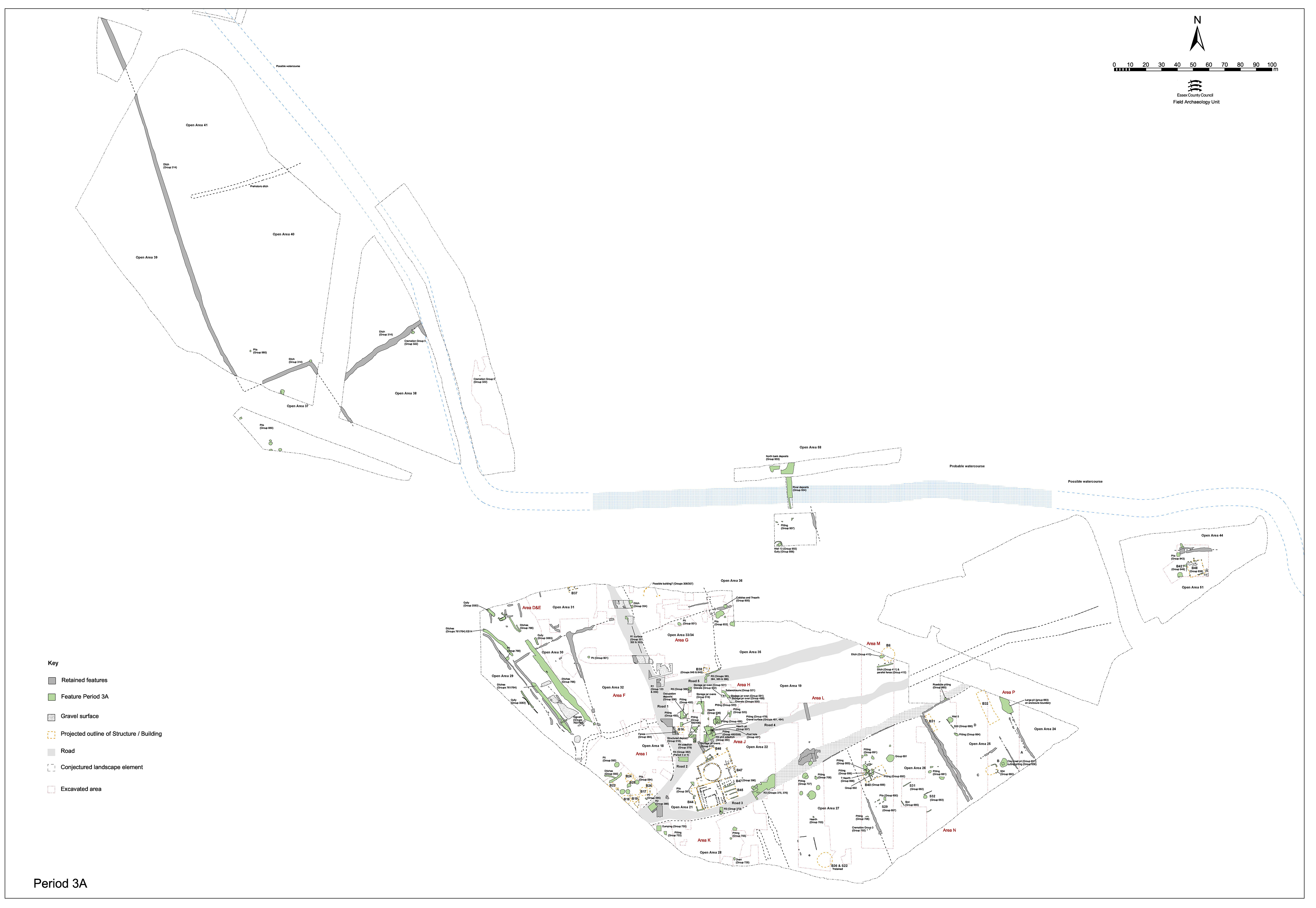
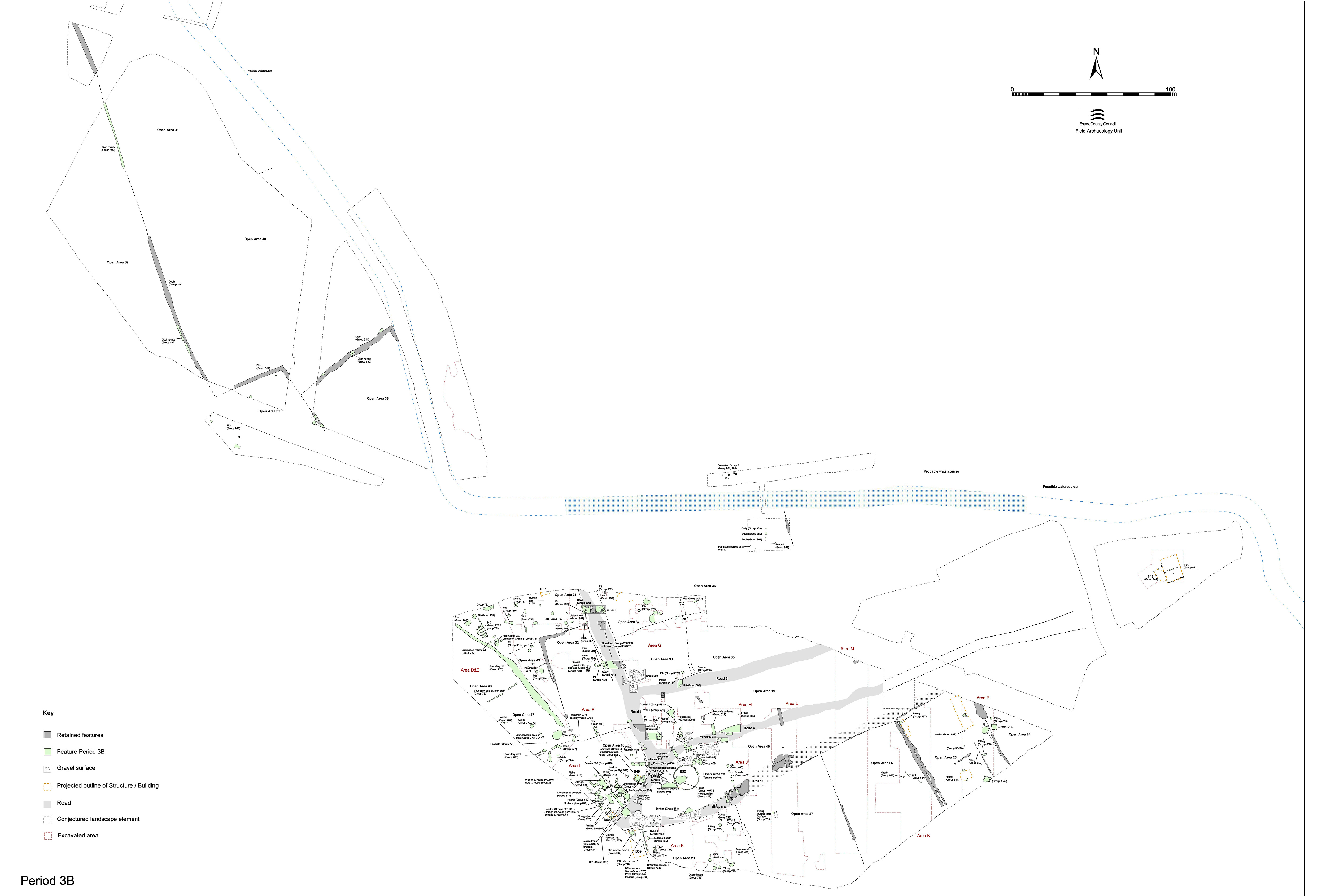
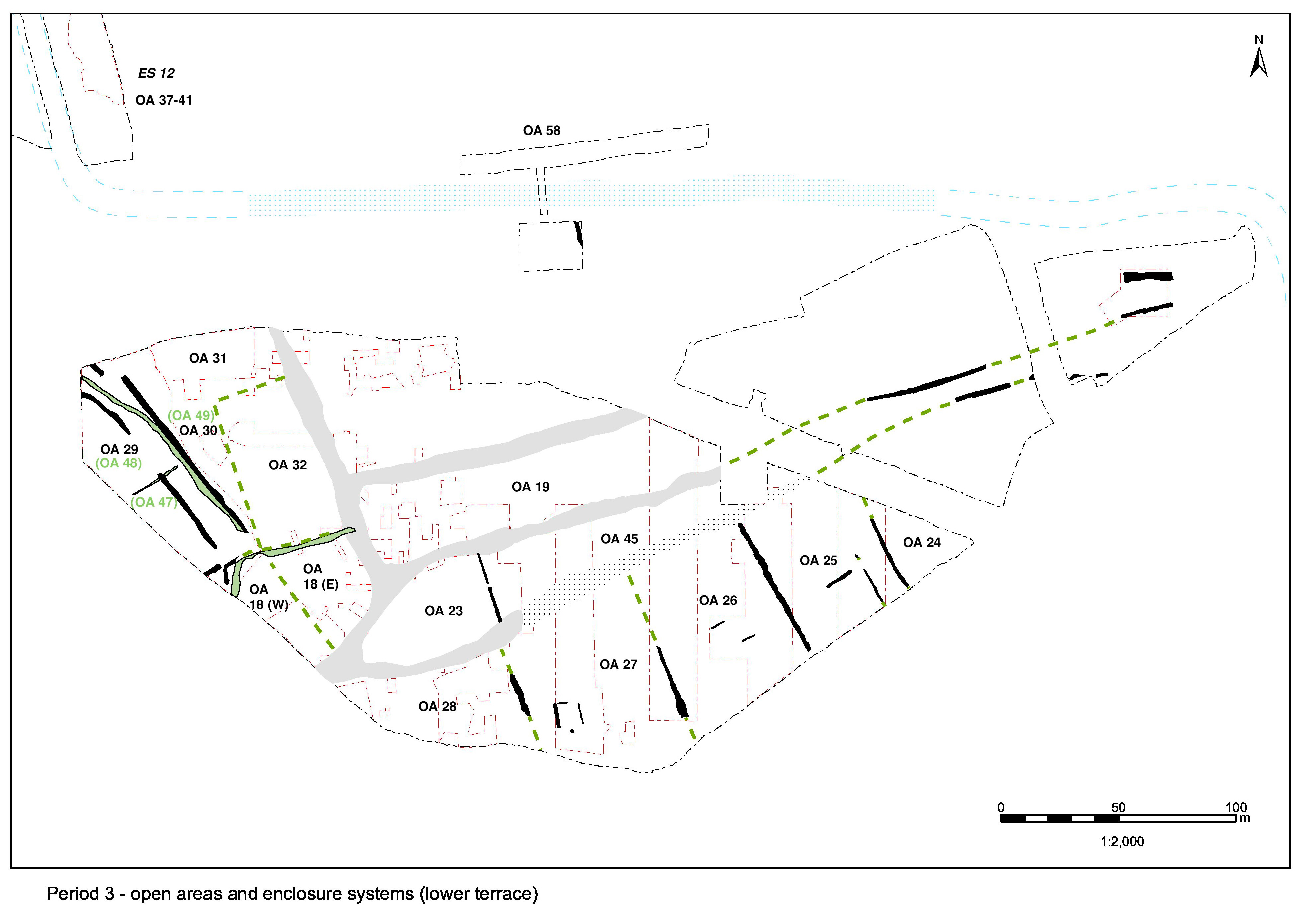
Road/track 5 clearly extends further eastwards and should cross Area A3. However, this area was never excavated following the topsoil strip and there are only vague suggestions of its presence on the pre-excavation plan produced. Running markedly parallel to Road 4 across Area A2, it is posited that Road 5 ultimately converges with the already merged Roads 3 and 4 just east of Excavation Area Q.
Internet Archaeology is an open access journal based in the Department of Archaeology, University of York. Except where otherwise noted, content from this work may be used under the terms of the Creative Commons Attribution 3.0 (CC BY) Unported licence, which permits unrestricted use, distribution, and reproduction in any medium, provided that attribution to the author(s), the title of the work, the Internet Archaeology journal and the relevant URL/DOI are given.
Terms and Conditions | Legal Statements | Privacy Policy | Cookies Policy | Citing Internet Archaeology
Internet Archaeology content is preserved for the long term with the Archaeology Data Service. Help sustain and support open access publication by donating to our Open Access Archaeology Fund.