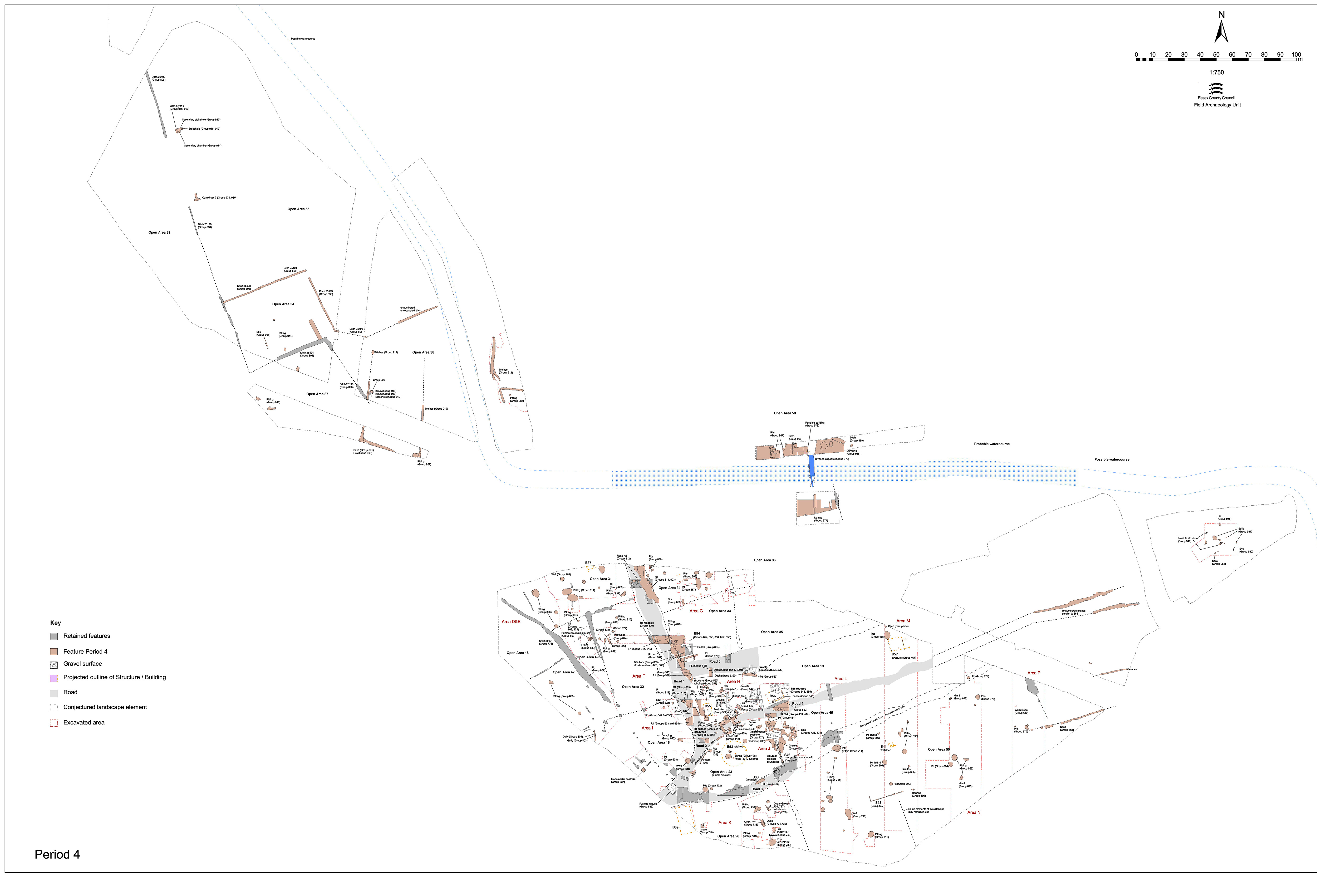
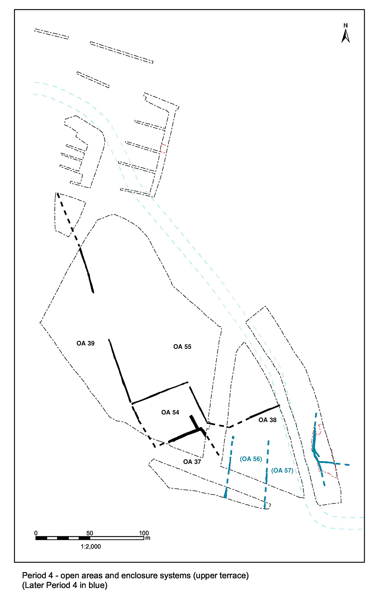
Evidence for further upkeep of Road 4 during the mid-Roman period is only recorded where investigated within/between Excavation Areas H and J. Further east, within Excavation Areas K-Q, no new road deposits or roadside features are apparent and perpetuation of its presumed track-like continuation is wholly construed from lack of encroachment.
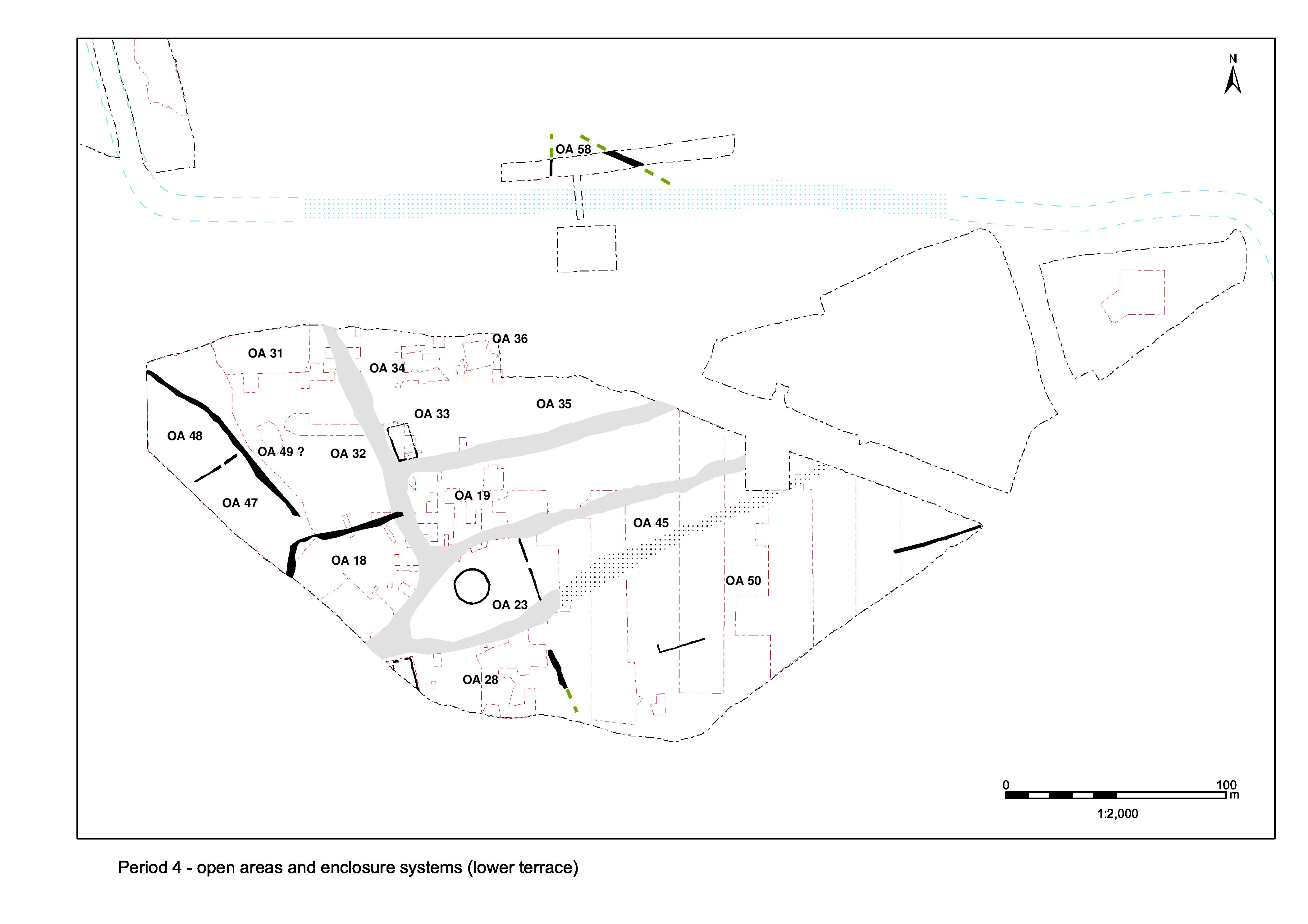
Close to its junction with Road 1, between OAs 19 and 23, two episodes of probable Period 4 resurfacing are identified.
The first mid-Roman surface (and fourth overall in the Road 4 sequence) is best demonstrated in the westernmost trench excavated across the road, where gravel deposits 13032, 5591 and 5926 (Group 413) and 5522 (Group 414) form a concave road surface up to 0.15m thick. This surface is laid upon make-up layers clay-silt 13036 and sand 5787, and seems to have involve a slight narrowing or shift of the road northwards compared to earlier (and later) surfaces. Surface 6413 and layer 6434 (Group 511) may be a further part of this surfacing episode.
Just to the east of 13032, gravel surface 6413 and underlying sandy silt 6434 may be equivalent Road 4 deposits. These are cut by mid-Roman roadside fence foundation slot 6061 (Group 557).
At the easternmost extent of Excavation Area H, compacted pebble layers 16292 and 16509 are parts of the same road surface. Although this surface is not removed, the excavation of features that cut through it reveals that there is at least one earlier surface beneath this point along the road. Just to the south, and investigated within Excavation Area J, a probable further part recorded as layer 21836 is bedded upon clayey-silt 21841. Minor gravel deposits 5550 and 5578 and 5541 probably constitute repairs to this phase of road.
The above road deposits are separated by miscellaneous unphased features that suggest some encroachment upon it occurs in Period 4. The road surface is cut by post-hole 6394 (Group 562).
Road 4 is again resurfaced (5490, 5500, 5587, 5778, 5784, 5862, 5870, 6130, 6132, 6143, 6144 Group 417) in Period 4. Laid partly upon the earlier Period 4 gravel road surface and partly upon additional make-up layers, this surface seems to constitute the northward widening of the road to at least 7m, returning it to its original Period 2 dimensions. This surface is the last surviving solid road at this location. There is very little dating for these later layers, but stratigraphy suggests a date no later than the late 3rd century for some of them, which fits with what little pottery there is.
Further deposits (Group 434) lie on top of this surface and perhaps constitute a degraded or worn sixth and final road surface. This is deemed to be Late Roman.
Internet Archaeology is an open access journal based in the Department of Archaeology, University of York. Except where otherwise noted, content from this work may be used under the terms of the Creative Commons Attribution 3.0 (CC BY) Unported licence, which permits unrestricted use, distribution, and reproduction in any medium, provided that attribution to the author(s), the title of the work, the Internet Archaeology journal and the relevant URL/DOI are given.
Terms and Conditions | Legal Statements | Privacy Policy | Cookies Policy | Citing Internet Archaeology
Internet Archaeology content is preserved for the long term with the Archaeology Data Service. Help sustain and support open access publication by donating to our Open Access Archaeology Fund.