Prior to incorporating any external data sources, a large amount of content can be created using Google Earth itself. Here we document the usability and functionality of Google Earth as a GIS, as well as the ability to integrate other features within it.
Google Earth uses Simple Cylindrical projection with a World Geodetic System 1984 (WGS84) datum for the imagery base, and provides latitudinal and longitudinal information about any location the user is interested in. Google Earth also allows the user to locate an area of interest by searching the name of a location, as well as by known coordinates, making it easier for people with less mapping and GIS knowledge to navigate around a landscape. Google Earth utilises the web to integrate other online resources such as the Google Search Engine, Google Images, Picasa Images and YouTube.
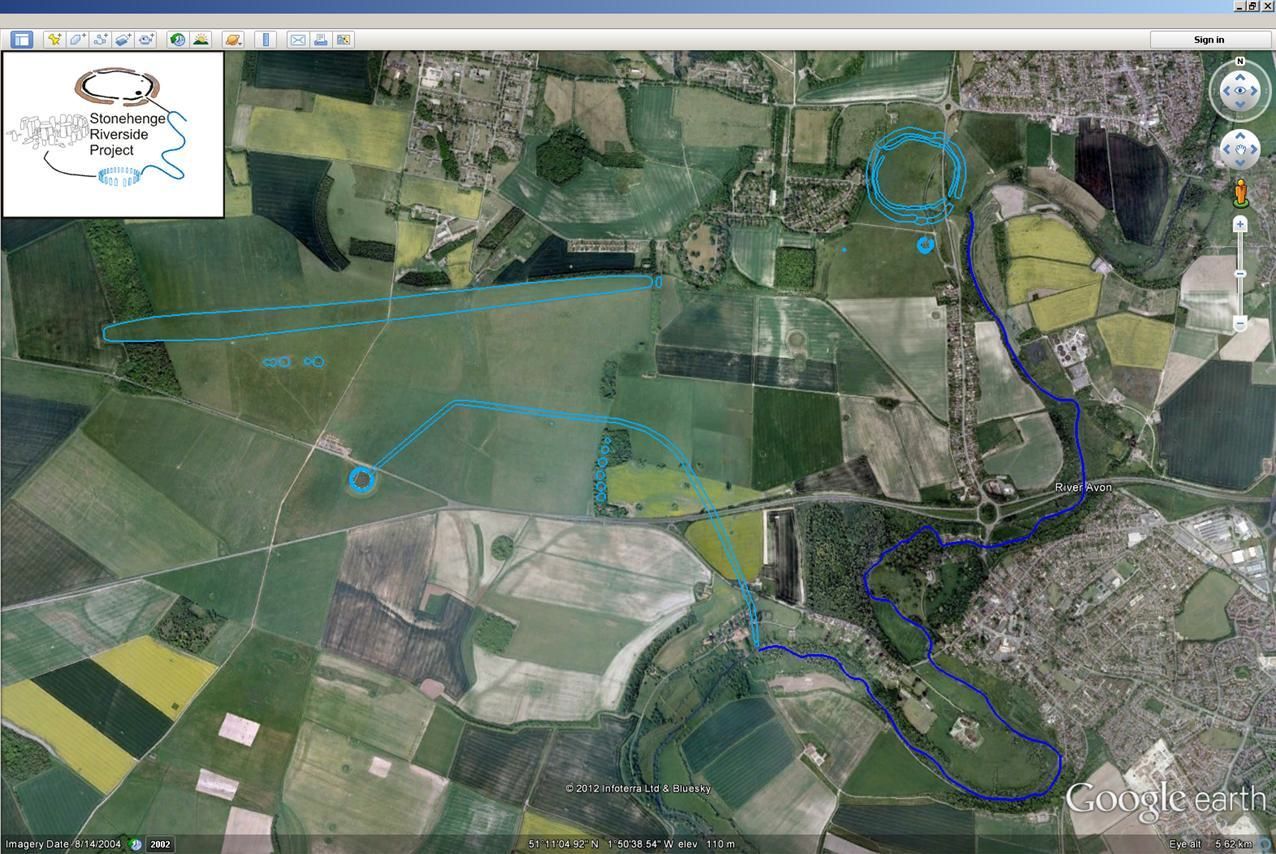
Google Earth also provides the user with basic vector tools, allowing the creation of points, polylines and polygons as KML files through the 'Add Placemark', 'Add Polygon' and 'Add Path' tools. These allow the user to place points, draw lines and fill polygons in areas of interest, as well as allowing the user to edit the names, views and styles of these features. Within this application these tools were used to highlight the location and layout of a number of the monuments found throughout the Stonehenge landscape, as well as providing annotations of particular archaeological features and locations (Figure 1). It should be noted that this method of selecting areas by eye was only used within the Landscape Tours. All of the archaeological information from the project was imported from GIS and derived directly from primary data such as site plans and total station records.
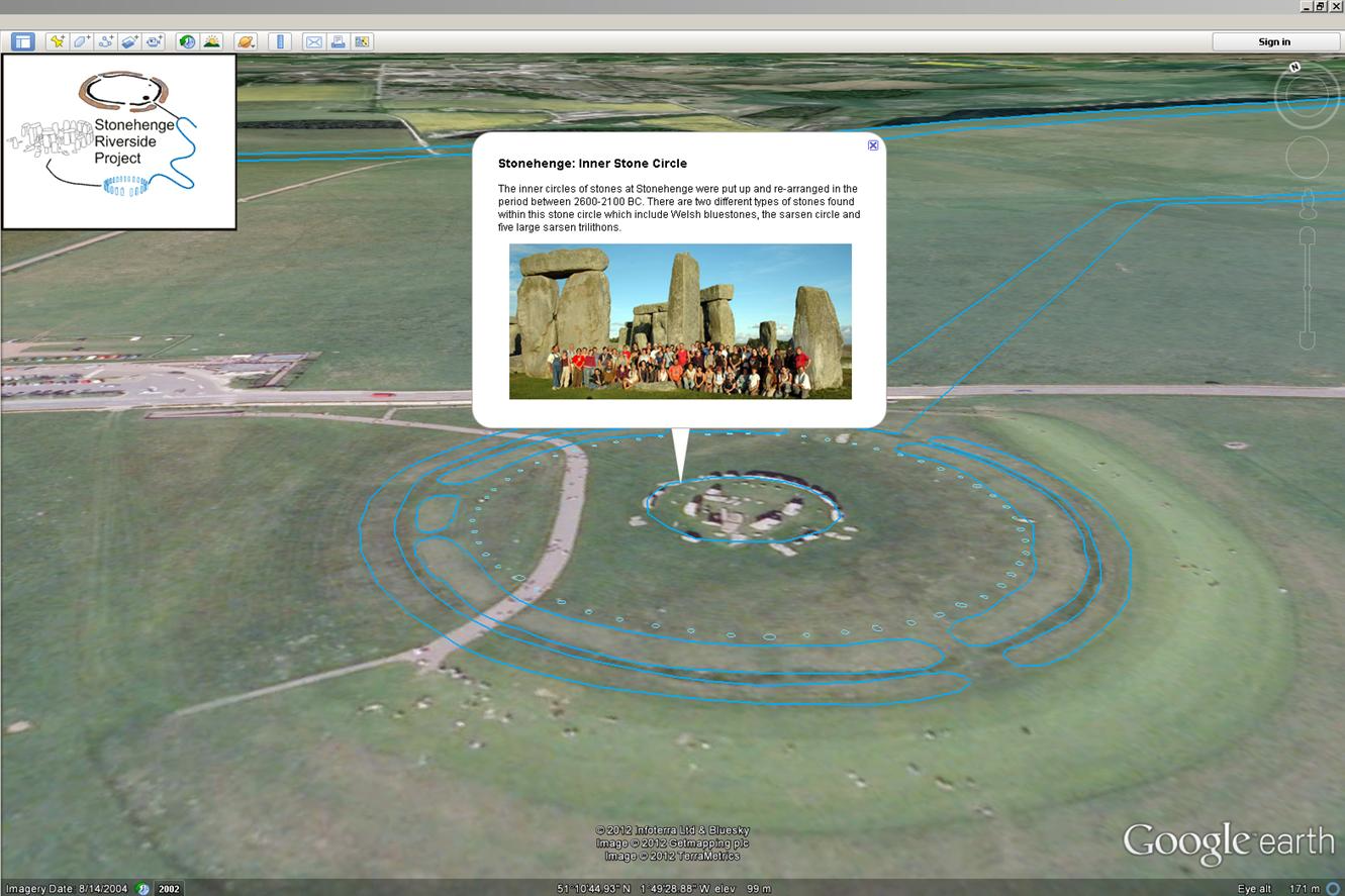
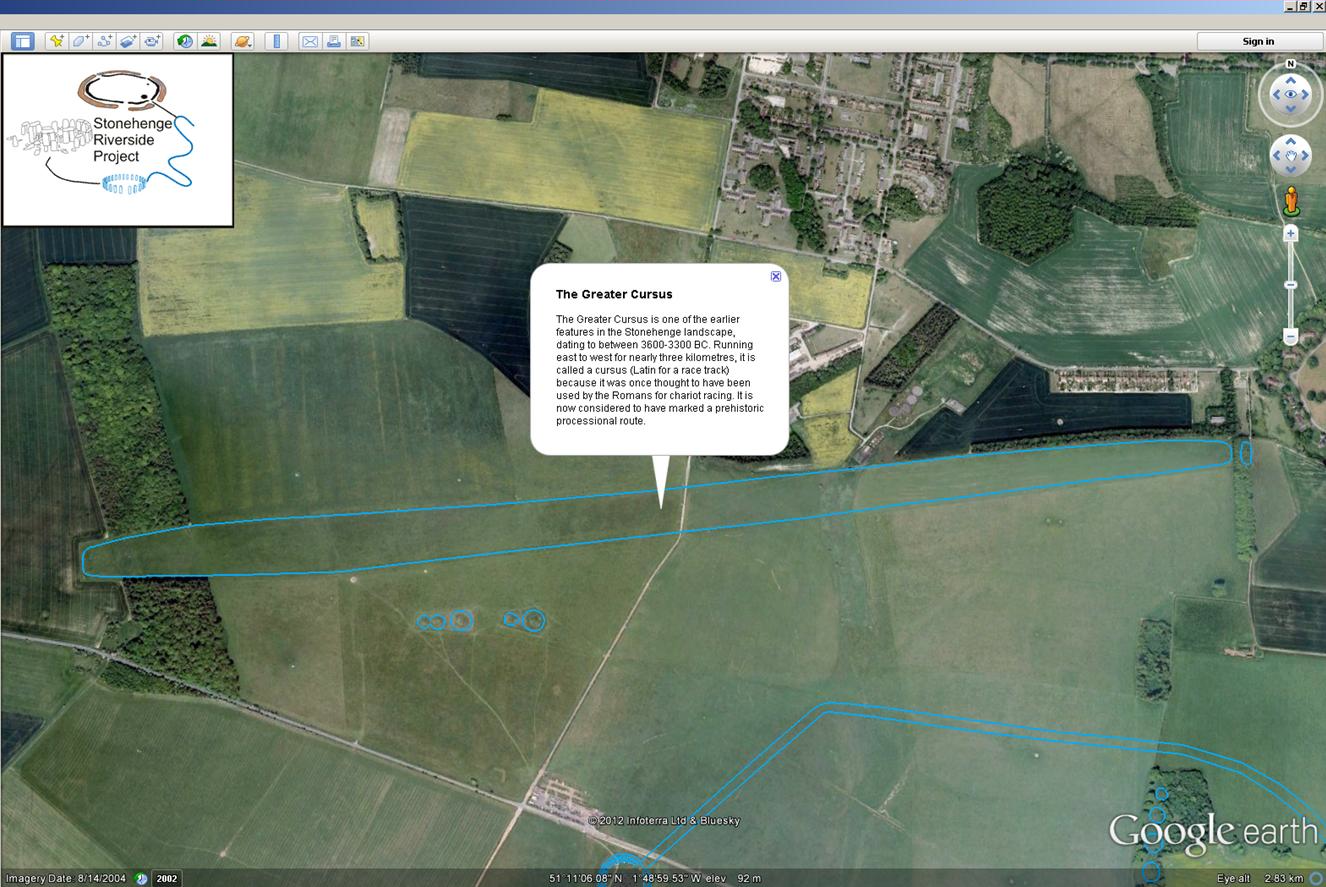
As well as allowing the user to edit the style of these features, Google Earth allows the integration of Hypertext Markup Language (HTML) coding to include dialogue boxes within these KML files. This creates a text-based dialogue box that appears once the feature is selected by the user, providing further detail and interaction within the Stonehenge Riverside Project (Figure 2).
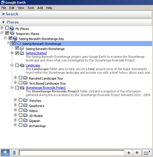
Finally, as with other GIS systems, Google Earth provides the user with a layers and folders management interface that allows the user to place different datasets within folders. These folders can then be toggled on and off, depending on whether the user wishes to display the data (Figure 3).
Beyond its use as a GIS, Google Earth provides the user with a number of additional interactive features. One of the main features used within Seeing Beneath Stonehenge was the function that allows users to create tours. The 'Record a Tour' tool allows the user to record the movements they make within Google Earth, providing an interactive way of displaying material at different locations throughout the landscape. The user is able to 'fly' from site to site, as well as open dialogue boxes and follow paths created within a project. In addition to opening dialogue boxes, the use of XML coding within the software enables the user to integrate MP3 recordings, providing an opportunity to create narrated tours. To prevent projects from becoming too large in file size, Google Earth utilises its web connection to connect to the MP3s from an externally hosted source.
For Seeing Beneath Stonehenge, two 'Landscape Tours' were created with both text and narrated content, aiming to educate the user about a number of sites and monuments investigated by the Stonehenge Riverside Project (Video 2). The MP3s used for this application are currently hosted on the Bournemouth University server.
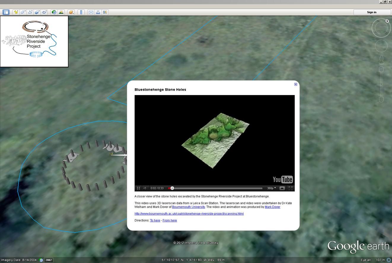
The integration of HTML coding into points, polylines and polygons created within Google Earth and the external sources drawn from the web by the software, provides an opportunity to embed a number of external media resources. The two main services used for this application were those provided by YouTube and Flickr. This saw the creation of a number of videos visualising 3D laser scan data recorded at different sites during the excavations. These were then uploaded to YouTube, which provides an embedding code that could be pasted into a Placemarker in Google Earth itself (Figure 4). As well as this, photographs taken during excavations were also uploaded to Flickr. The embedding codes provided by Flickr were then copied into dialogue boxes that in turn displayed these images (Figure 5). These embedded images were also used in trench descriptions, providing a visual representation of what was found at each site. Trenches will be discussed further in section 3.2.1.