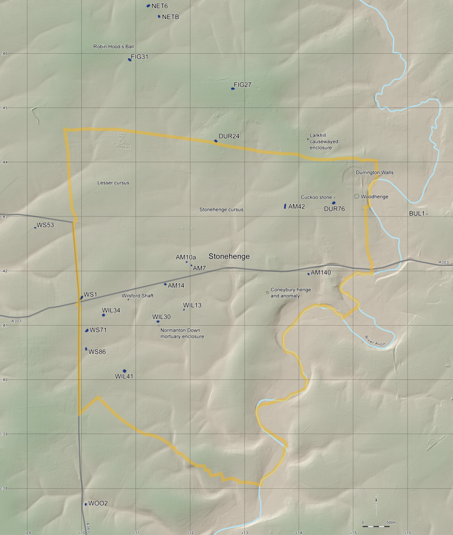
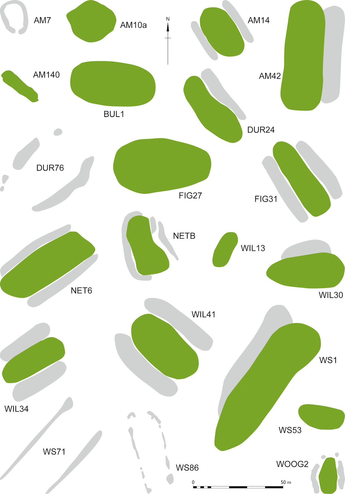
Of the twenty-one long and oval barrows from the SWHS and its environs reviewed for this study (Figure 9, Figure 10, Table 1), only AM42 (Richards 1990, 96–108; Richards and Thomas 2012), NETB (Richards 1990, 265, McOmish et al. 2002, 27), WOO2 (Harding and Gingell 1986), WS71 and WS86 have seen any modern archaeological excavation (Bowden et al. 2015, 17). Almost all have seen historic excavation, however, the first recorded instance of which was WIL13 in the 18th century (Burl and Mortimer 2005, 103), with FIG31, NET6, AM14, AM42, WIL30, WIL34, WS1 and WIN53 all being excavated on at least one occasion during the 19th century (Hoare 1812; Thurnam 1869; Grinsell 1957; RCHME 1979; Kinnes 1992), and several others showing earthwork traces of old trenches of unknown date (McOmish et al. 2002). Lukis (1864, 155) also notes that 'At West Amesbury there was a long barrow (now destroyed) with a cist at one end', and Grinsell (1957, 137) numbers this lost barrow Amesbury 104 (AM104). It is possible, although unproven, that this might be the same monument as AM140, a ploughed-out long barrow with a similarly ploughed-out round barrow intersecting its western end (Wessex Archaeology 2016b). Lukis (1864) generally uses 'cist' in the sense of a stone chamber, although RCHME (1979) point out that this could simply mean a grave; perhaps an inhumation in the round barrow at AM140? Despite the pioneering role played by Hoare, Cunnington, and others in the early development of archaeological technique (Needham et al. 2010), it must be noted that early barrow excavations focused primarily on human remains (particularly skulls; e.g. Thurnam 1869), grave goods and the typological classification of monuments (e.g. Hoare 1812). As such the surviving record is highly variable in quality and focus.
Despite the often limited records from previous excavations of long barrows in the area, it is clear that, like others in the wider region (Eagles and Field 2004), they contained a variety of features. In some cases, these include secondary interments within the barrow, as at AM14 (Grinsell 1957, 137) and WIL30 (Grinsell 1957, 145) or in the ditches as at WOO2 (Harding and Gingell 1986). Flint cairns were found within WOO2 (Harding and Gingell 1986) and WIN53 (Hoare 1812). Burnt human bone was noted in the cairn at WIN53, but the cairn at WOO2 contained only two sherds of Early Neolithic pottery. It is possible that the high amplitude GPR anomaly at WS86 is a similar feature, although it must be set into a cut in order to have avoided destruction by the plough.
Geophysical survey and excavation at WS71 and WS86 have demonstrated cut features in the area that would have lain beneath the barrow mounds, and these are paralleled at several other excavated long barrows in the area. At WOO2 a number of cut features were identified under and within the barrow. The original explanation was of several phases of pre-mound activity including six large pits, followed by two timber structures, one rectangular (11m x 3.7m), and the other trapezoidal (4.9m x 4.9m) followed by mound construction. This was reassessed in the publication of the excavation report (Harding and Gingell 1986), which while recognising the presence of some pre-barrow pits, also identified pits that cut through the mound and damage from rabbit burrowing. Harding and Gingell (1986, 16–19) also noted that the distribution of postholes did not easily lend itself to interpretation as clear structures, although they acknowledged that the smaller of the two arrangements may have been part of an internal mortuary chamber. Two small pits containing cremations were also found outside the line of the eastern ditch (Harding and Gingell 1986).
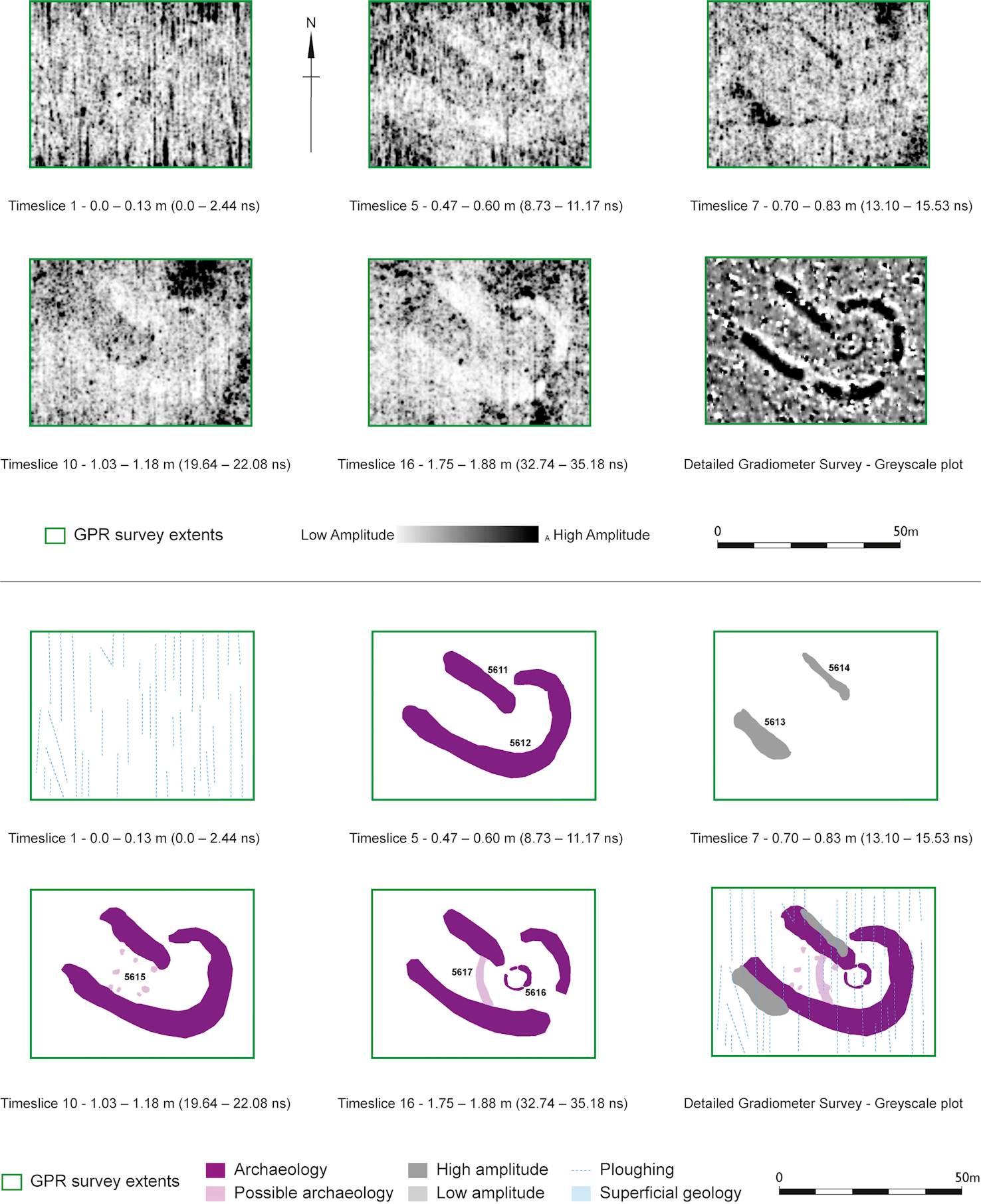
At WIN53, excavated by Colt-Hoare and Cunnington in the 19th century, two deep charcoal-filled pits were discovered (Hoare 1812; Kinnes 1992). As well as the Late Neolithic pits mentioned above, two stakeholes were found in the area where the mound of AM42 once stood (Richards 1990, 98) although it is not clear whether these were contemporary with the barrow. There was also a series of Late Neolithic pits between the line of the barrow mound and ditch, two of which were originally interpreted as terminals of a segmented ditch (Richards and Thomas 2012, 36). At WS1, three pits were found in the chalk beneath the barrow mound, one of which was 0.46m in depth and diameter and the other two of similar (but not specified) dimensions (Thurnam 1865, 143, cited by Bowden et al. 2015, 17). Finally, recent geophysical survey has revealed a square arrangement of postholes beneath AM140 (Wessex Archaeology 2016b; Figure 11).
The range of features present beneath long barrows in the SWHS and its environs hint at diverse pre-barrow activities, or of internal structural configurations of barrows. McOmish et al. (2002, 29) suggest that some of these features may represent a sequence of events, with some pits having held standing stones that were then broken up, incorporated into cairns over the former stone hole, and covered by the barrow mound. Evidence from Arn Hill, Cunnington's excavations at Knook, and the presence of three sarsens in the ditch of FIG31 all tenuously support this hypothesis (McOmish et al. 2002, 29–30). Further research is necessary before any additional comment can be made regarding pre-barrow activity at long barrows in the WHS; work elsewhere in the region demonstrates the very high potential of such work for understanding Early Neolithic activity (Morgan 1959; Wysocki et al. 2007a; 2007b).
Consideration of the materiality of long barrows is also important; people in the Early Neolithic are very unlikely to have understood substances such as soil, stone and wood in a similar manner to modern western views (Kirk 2006; Noble 2017). Kirk (2006) suggests that the inclusion of these materials in long barrows acted as a form of symbolic citation of the relationships between people and landscape, stone, animals or plants. It appears clear that certain materials had particular associations in the area in the Early Neolithic; for example, sarsen, although a common material across the Marlborough Downs and Kennet valley, demanded a series of engagements with the landscape and stone during its selection, extraction, preparation, transport, placement and maintenance (Gillings and Pollard 2016). The translocation of sarsens, and of less durable materials such as timber and turf, brought associations of other places and practices to the long barrows in which they were incorporated, and may also have created reciprocal links to the places of origin of the materials. Turf, and perhaps timber, might have been sourced from relatively close to the site of the barrows, depending on the extent of clearance in the immediate landscape. Mortuary structures such as those at WOO2 may represent places of bodily transformation in their own right, but were also material structures citing wider landscape relations and places. In their turn, these structures and other pre-mound features were transformed, being returned to the earth through their covering in a mound of chalk and/or turf. The apparent maintenance of the mound at AM42 (Richards and Thomas 2012, 37) emphasises that the materiality of long barrows could remain important into the Late Neolithic; later discussion will review how these transformative monuments influenced — or failed to influence — Bronze Age landscapes in the area.
Internet Archaeology is an open access journal based in the Department of Archaeology, University of York. Except where otherwise noted, content from this work may be used under the terms of the Creative Commons Attribution 3.0 (CC BY) Unported licence, which permits unrestricted use, distribution, and reproduction in any medium, provided that attribution to the author(s), the title of the work, the Internet Archaeology journal and the relevant URL/DOI are given.
Terms and Conditions | Legal Statements | Privacy Policy | Cookies Policy | Citing Internet Archaeology
Internet Archaeology content is preserved for the long term with the Archaeology Data Service. Help sustain and support open access publication by donating to our Open Access Archaeology Fund.