Introduction | Exploring Medieval Village Territories | The Evolution of Post-medieval Village Territories | The Creation of Village Territories | The Development of Medieval Village Territories | Late Medieval Village Territories | Conclusions
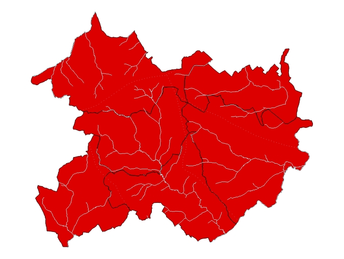
The administrative structure from which the territorial divisions of Whittlewood emerged during the two centuries prior to the Norman conquest was a landscape of more extensive estates. These can be partially reconstructed using place-name and later documentary evidence (Figure 9). The Lillingstones (the stone of the people of Lytla) must formerly have constituted a single landholding (Gelling 1953-4). Likewise by sharing the common element 'perie' (pear tree), Potterspury and Paulerspury can confidently be linked (Gover et al. 1933). Silverstone (Sigwulf's estate) and Whittlebury (the fortified place of Witela) remained ecclesiastically dependent upon Greens Norton (northern estate or farm) into the late middle ages, an echo perhaps of an earlier administrative bond, in much the same way that Leckhampstead (homestead of the leek) claimed jurisdiction over the chapel of Akeley (Acca's clearing: Mawer and Stenton 1925) in the 12th century (Salter 1921). In 1086, Passenham (Passa's meadow) had rights of jurisdiction over parts of Cosgrove (the grove of Cufel) suggesting the existence of an earlier and larger parochia (VCH Northants, 234), perhaps coincident with the estate within whose orbit the Wickens (specialised farm) may have originally lain. Place-names around the significant name Stowe, with connotations of centrality, such as the functional Lamport ('long market'), the directional Westbury (western fortified place), and the dependent Boycott (Boys' cottages) also appear to define the remnants of an earlier integrated estate structure akin to those proposed by Jones (1976).
The origins of this landscape remain obscure although almost certainly it does not represent the first stage in its division. There is reason to suggest, for instance, that by the middle of the first millennium BC much of the area lay within a territory which looked to the hillfort at Whittlebury. The later association of the wider area with Witela, his name becoming attached to the wood, hence Whittlewood, is perhaps significant in this context. This polity may have survived in large part intact with the localised transfer of power to the small town of Lactodorum (Towcester) and its surrounding pagus during the Roman period (Quinnell 1991), a sequence also suggested around Rainsborough Camp only a short distance to the south-west (Brown and Taylor 1978). At some point during the 5th and 6th centuries, this large block seems to have been split between perhaps two or three royal estates; certainly the survival of extensive Crown holdings in Whittlewood into the late 11th century would seem to indicate this. It was probably during the fragmentation of these royal holdings, during a period of enormous political complexity, that the smaller estates emerged.
Place-names also provide a partial picture of the environment in which new colonisation and subsequent division was taking place. Places ending in -leah such as Puxley, Akeley and the hundredal names Cleley and Ploughley suggest clearings within more extensive woodland; names ending in -feld as in Luffield and Wakefield speak of larger open spaces which could be contrasted with more general tree cover. A ring of names ending in -tun around the periphery of this block suggest more open countryside. The chronology of these events remains elusive. However, the patterning of names with -tun around the central core of woodland, with names ending in -leah more common within it, probably mark the area as one of late colonisation, if parallels can be drawn with the Forest of Arden where the distribution of names is very similar (Gelling 1978, 126-9). Taking the linguistic and archaeological evidence together, new colonisation of the area and its redivision appears to have been taking place between AD 700 and 900.
© Internet Archaeology
URL: http://intarch.ac.uk/journal/issue19/5/4.1.cfm
Last updated: Mon Sep 4 2006