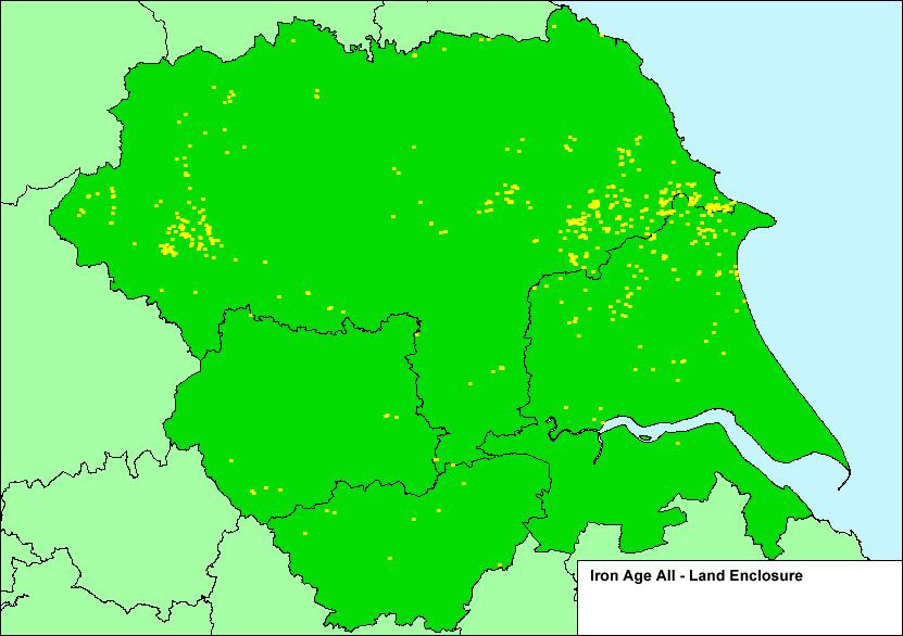
Figures 17a and 17b: Iron Age Enclosures: very marked differences in scale and density are evident between provable (17a) and possible (17b) distributions in some areas, but elsewhere they are identical. Each has major implications for agrarian development. Only detailed investigation on the ground will confirm or reject identifications made on the basis of monument morphology seen from the air.
| Yorkshire Location Map | a. Iron Age Only Land Enclosure |
b. Iron Age All Land Enclosure |
| with elevation | with elevation |