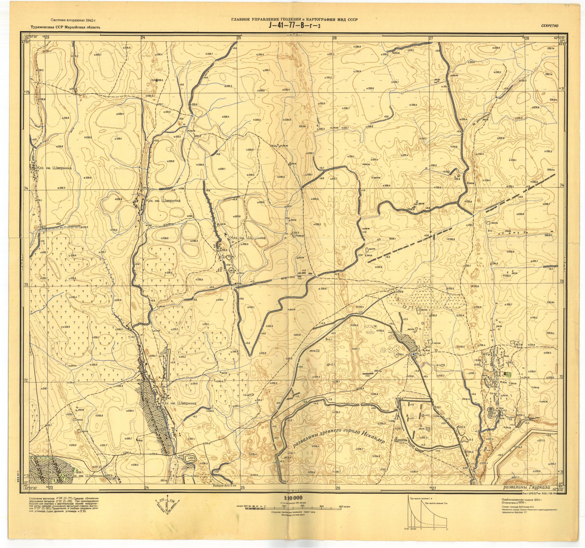
Figure 13: Example of one of the Soviet 1:10,000 maps, published in 1954. Includes the north central part of city of Sultan Kala (towards the bottom right of the map), with the northern suburb and citadel (Shahriyar Ark) clearly visible, as is the Madjan Canal which shows a distinctive earthwork running out into the suburban area, through to the top of the map. (See also GIS layer Russian_map.)