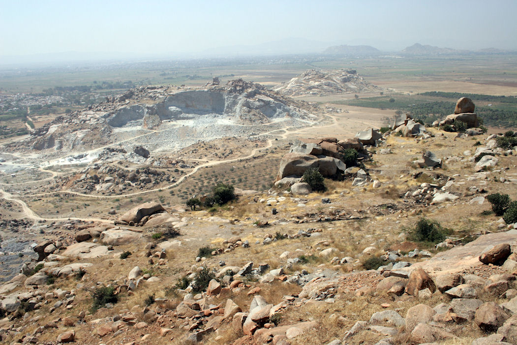
Figure 1: The three hills of the Sanganakallu-Kupgal complex. In the foreground is Hiregudda, taken from Area C, where quarrying of the upper reaches of the dolerite dyke was carried out, and looking down onto Area A, where stone tool manufacture was carried out. The hill being heavily quarried today for granite is Choudammagudda. Sannarachammagudda can be seen beyond it. The modern village of Sanganakallu is visible in the upper left, while the town of Bellary can be seen off in the middle distance. (Photograph by J.A. Soldevilla).