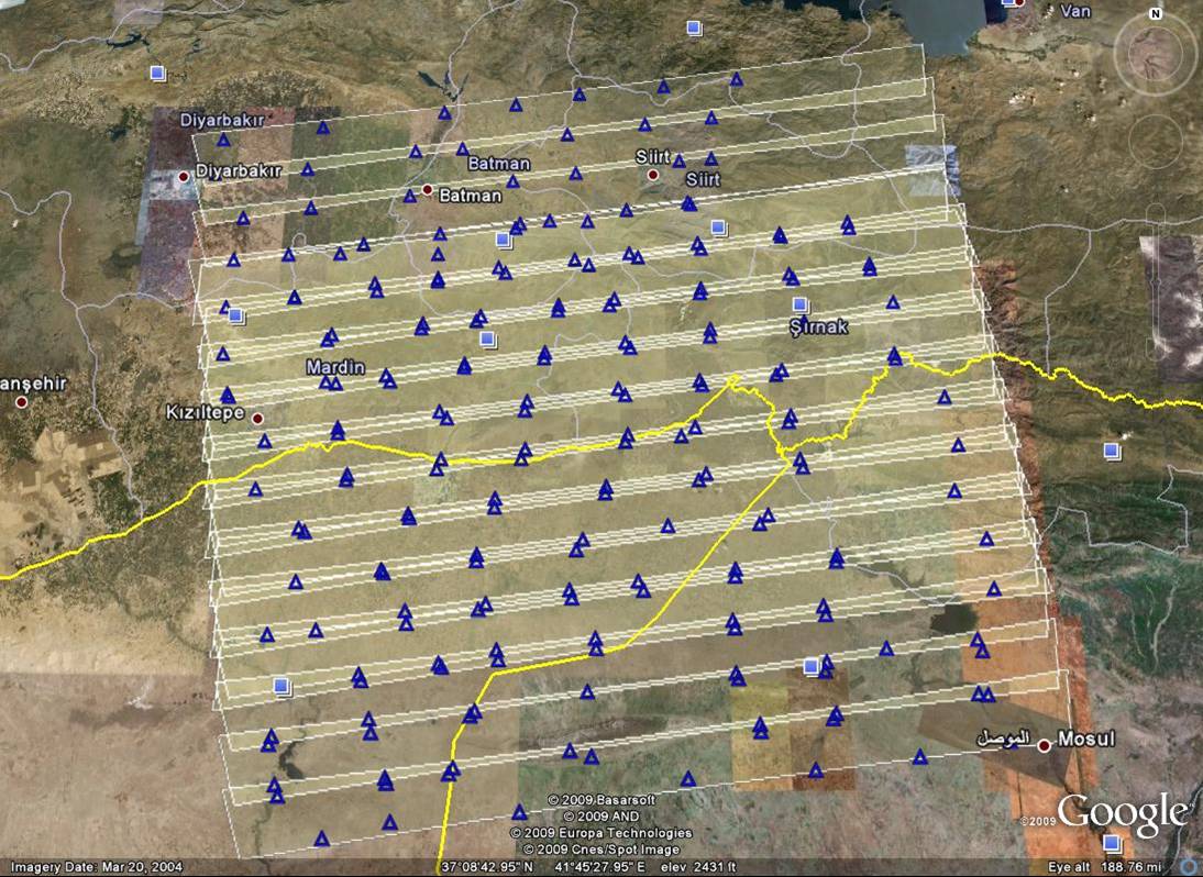
Figure 8: Location of ground control points used to orient a large block of CORONA images. Note that relatively few GCPs are required if they are well positioned along areas of image overlap
Back | Forward | Close Window
Figure 8: Location of ground control points used to orient a large block of CORONA images. Note that relatively few GCPs are required if they are well positioned along areas of image overlap
© Internet Archaeology/Author(s)
University of York legal statements | Terms and Conditions