Institute of Archaeology, University College London, 31-34 Gordon Square, LondonWC1H 0PY. Email: [email protected]
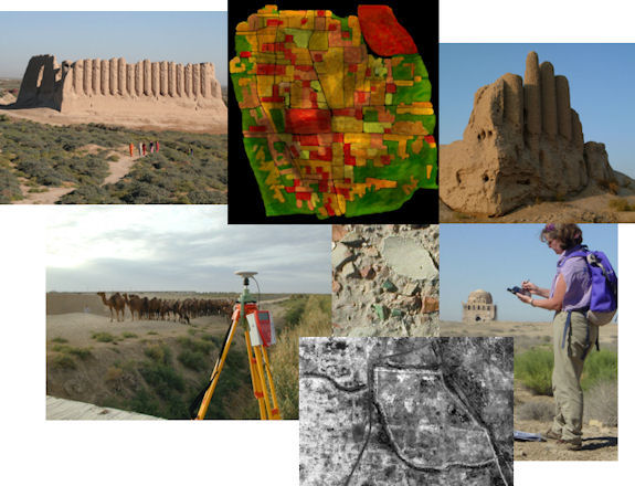
This article outlines approaches for interpreting the Islamic city of Sultan Kala (Merv), c. 8th-13th centuries AD, based upon aerial photographic and satellite imagery. Hierarchies of assumptions (identification of individual wall lines; which frame spaces, rooms and courtyards; which are grouped as parts of specific buildings; which are part of urban blocks) and ontologies (information about these assumptions and the variable confidence of interpretation, from the position of lines to spatial function) provide a dynamic structure for the presentation of data, interpretation and theory.
The article establishes procedures and protocols within two sample areas (selected to represent the diverse features of the urban and suburban landscapes) to:
Go to article Table of Contents
© Internet Archaeology/Author(s) URL: http://intarch.ac.uk/journal/issue25/1/index.html
Last updated: Wed Apr 02 2008