
Map 1: Map of study region
Map 1: Map of study region
This section reviews the distribution of combs in time and space, using the classification outlined in section 2. The discussion is based on a review of published and unpublished literature relating to a sample of sites from across Europe, but also incorporates data from detailed investigations of comb material undertaken by the author, particularly in northern England, Atlantic Scotland, Norway and Sweden.
Previous syntheses of Viking-Age combs have been undertaken by Ambrosiani (1981) and Tempel (1969), but these do not cover the entire geographic and chronological range of interest. Moreover, since 1969 large urban excavations have been undertaken at sites such as York (Hall 1994), Southampton (Andrews 1997; Birbeck 2005; Morton 1992), Dublin (O'Riordáin 1971; Simpson 2000; Wallace 2001; Walsh 1997), Ribe (Bencard et al. 2004; Feveile 1992; Feveile and Jensen 2000; Jensen 1991a; 1991b), Trondheim (Christophersen and Nordeide 1994), and Novgorod (Brisbane and Gaimster 2001), with good comb corpora and analyses published from many of these (Ambrosiani 1981; Flodin 1989; MacGregor et al. 1999; Smirnova 2005). Thus, it seems appropriate to attempt a new analysis using the typology outlined. Important, unusual, and interesting regional patterning will be considered via detailed case studies, with the aim of charting spatial and chronological variability, while the accompanying tables provide complementary data. Each regional discussion is accompanied by a map that illustrates the key localities considered in the text, as well as other culturally and economically important points of reference. In the interests of legibility, these maps are not exhaustive, and have necessarily been simplified, so that some sites that lie in close proximity to one another are represented by a single point. For ease of presentation, the following is divided according to modern political boundaries (and is mapped accordingly), but there is no assumption that these divisions themselves are of archaeological significance. In each section, a brief account is made of the nature of the corpus immediately prior to the Viking Age, followed by a fuller description of material from the 9th century and later. This allows a better understanding of the Viking-Age/medieval corpus, and its social implications.
Map 2: Map of base regions. Please click to access regional reviews.
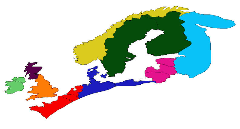
England | Scotland | Wales | Ireland | Western continental Europe | The Southern Baltic | Norway | Sweden and Finland
The Baltic States and Islands of the Eastern Baltic | Russia
The geographical frame of study is northern Europe (Map 1), incorporating the British Isles, Scandinavia, the northern coasts of France, the Netherlands, Belgium, Germany, and Poland, the Baltic states of Estonia, Latvia, and Lithuania, and north-western Russia. For ease of reference, the study area is broken up into blocks (Map 2), based upon modern political geography (England, Scotland, Wales, and Ireland; western continental Europe; the southern Baltic; Norway; Sweden and Finland; the Baltic states and islands; north-western Russia). It will be noted that Kaliningrad Oblast is omitted from the survey, as data were unavailable; no attempt has been made to extrapolate from neighbouring survey regions. Moreover, no assumption is made that these regions relate to coherent or monolithic entities in the past, and of course intra-unit variation must exist within the blocks. Nonetheless, for ease of reference they are mapped as discrete units, and more detailed information is provided in the accompanying text. The schematic maps thus provide a useful first port-of-call, which may then be drilled into as necessary.
The comments facility has now been turned off.
© Internet Archaeology/Author(s)
University of York legal statements | Terms and Conditions
| File last updated: Tue Sep 20 2011