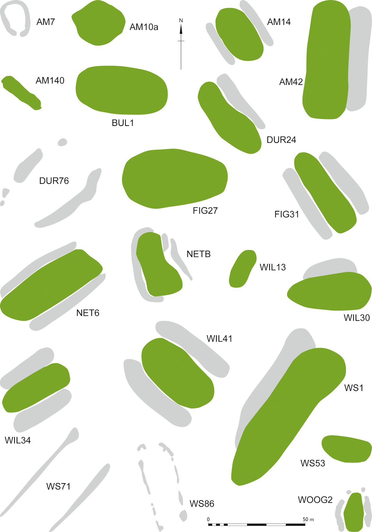
| Site name / number: | Amesbury 140 |
| Abbreviation: | AM140 |
| Name: | - |
| Parish / Grinsell number: | Amesbury 140 |
| Subform: | Short long barrow? |
| Hoare number: | - |
| Wiltshire HER Number: | SU 14 SW 11B |
| National Monument Record number: | SU 14 SW 257 |
| Scheduled Monument number: | Unscheduled |
| Within the WHS?: | Y |
| Length (m): | 21.5 |
| Width (m): | 12 |
| Height (m): | 0 |
| Ditch width (m): | 3 |
| Orientation: | NNW-SSE |
| Excavated?: | Y |
| Focus of mound features: | ? |
| Visible from Stonehenge?: | N |
| Associated with round barrows?: | N |
| Ditch form: | Side ditches only and continuous, but peculiar relationship with apparent round barrow mapped from aerial photography and via GPR — a curving ditch matching the round barrow circuit appears below the long barrow on GPR — perhaps the 'round barrow' is an earlier mound or ring ditch? |
| Postholes in ditches: | Around the inner edge of flanking ditches; possible flint or other poorly-conductive packing |
| Internal pits: | - |
| Internal postholes: | Square of internal ?postholes? |
| Internal cairn or stones: | This quote refers to Amesbury 104, not 140, but it has been suggested that the two are linked. Possible round cist (large) at SE end — Lukis "At West Amesbury was a long barrow (now destroyed) with a cist at one end" p155. GPR shows complex series of features at SE end, including a round feature that looks like a round barrow, but appears to include a ditch that lies beneath features of the long barrow. Could this be the 'cist' which Lukis mentions? The sense of Lukis' use of cists is illustrated by the context of his discussion, in which he expounds at length on the nature of cists and chambers, and is clearly thinking of stone chambers in the manner of chamber tombs. GPR doesn't show any in situ large stones, unless the square of internal features are former stone settings. |
| OS Grid Reference: | SU 1418 4194 |
| British National Grid X coordinate: | 414180 |
| British National Grid Y coordinate: | 141940 |
| Latitude: | 51.1765230 |
| Longitude: | -1.7985338 |
| References: | Lukis, W C (1864) 'Danish Cromlechs and Burial Customs compared with those of Brittanny, the Channel Islands, and Great Britain' (As AM104; NB — the connection of Amesbury 104 with 140 is far from certain, but has been noted as a possibility by various scholars), Wiltshire Archaeological and Natural History Magazine 8, 145-169; Grinsell, L V (1957) 'Archaeological Gazetteer', in R B Pugh and E Crittall (eds) A History of Wiltshire. Volume 1, Part 1, 21–279. London, Oxford University Press; Bowden M, Soutar S, Field D and Barber M. 2015. The Stonehenge Landscape; Analysing the Stonehenge World Heritage Site. Historic England, Swindon; Wessex Archaeology (2016a) 'A303 Amesbury to Berwick Down; Geophysical Survey Report'. Unpublished report, Wessex Archaeology / ArupAtkins / Highways England; |
| Plan reference: | Wessex Archaeology (2016a), Figures 36, 37, 42, 62 and 63. |
| Radiocarbon date: |
Internet Archaeology is an open access journal based in the Department of Archaeology, University of York. Except where otherwise noted, content from this work may be used under the terms of the Creative Commons Attribution 3.0 (CC BY) Unported licence, which permits unrestricted use, distribution, and reproduction in any medium, provided that attribution to the author(s), the title of the work, the Internet Archaeology journal and the relevant URL/DOI are given.
Terms and Conditions | Legal Statements | Privacy Policy | Cookies Policy | Citing Internet Archaeology
Internet Archaeology content is preserved for the long term with the Archaeology Data Service. Help sustain and support open access publication by donating to our Open Access Archaeology Fund.