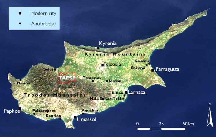
Figure 1: Map of Cyprus showing the TAESP survey area. Source and owner of background satellite image: NASA Visible Earth. Map: Michael Given.
© Internet Archaeology/Authors
URL: http://intarch.ac.uk/journal/issue20/4/tof.htm
Last updated: Thur July 5 2007