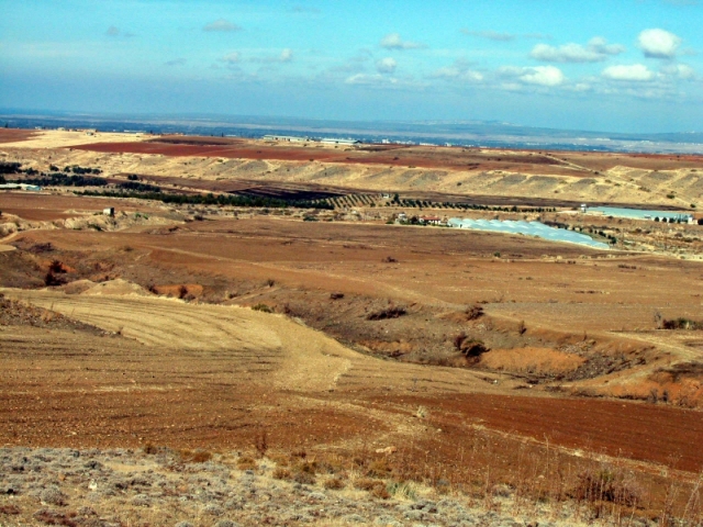
Figure 43: Lagoudhera river valley in the middle ground, Koutraphas Intensive Survey Zone on the plateau beyond it, Kato Koutraphas village just off the photo to the left, and the location of Nikitari Petrera (TP242) in the fields in the centre of the photo. Taken from the south. Photograph: Hugh Corley.
© Internet Archaeology/Authors
URL: http://intarch.ac.uk/journal/issue20/4/tof.htm
Last updated: Thur July 5 2007