Close this Window
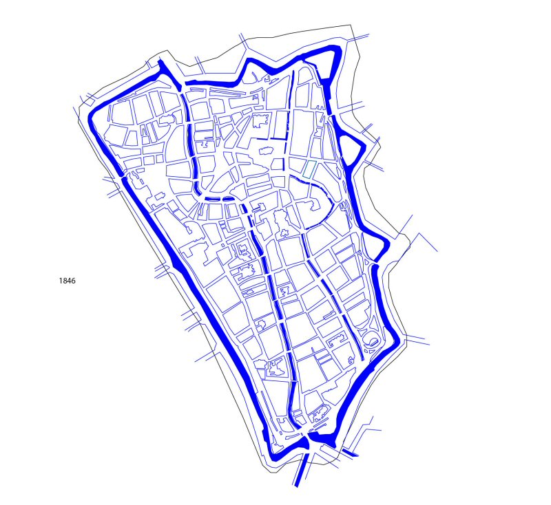
Figure 2: Plan of Utrecht in 1846, based on the map of Van der Monde (North at top)
© Internet Archaeology / Author URL: http://intarch.ac.uk/journal/issue21/5/1846plan.html Last updated: Wed Aug 8 2007