Close this Window
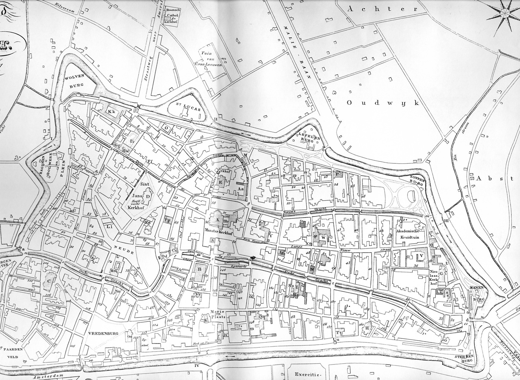
Figure 1: The map of van der Monde (1846), which stood as the basis of the map-regression of Utrecht
© Internet Archaeology / Author URL: http://intarch.ac.uk/journal/issue21/5/van_der_monde_map.html Last updated: Wed Aug 8 2007