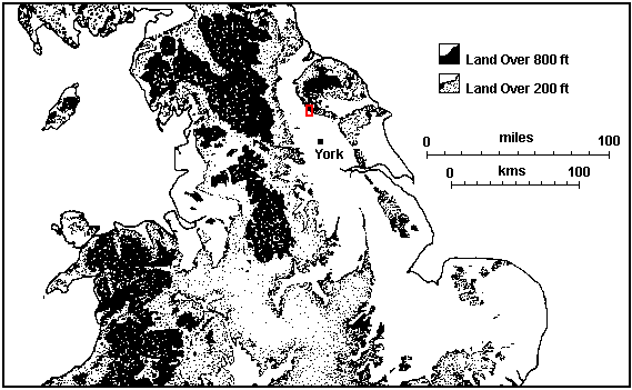
Figure 1: Map of Region
(Click on highlighted area to zoom into excavation area - figures 2-5)
Oldstead Grange is located at NGR SE 532793 in the Coxwold-Gilling gap, a small trough-faulted valley in the shadow of the southern escarpment of the North York Moors and about 2.1km west of Byland Abbey. The excavation site was limited to the area of a small terrace in the apex of a now-drained 'Y' shaped fishpond, a location which afforded the site a perfect view across the entire 45 acre pond.

Figure 1: Map of Region
(Click on highlighted area to zoom into excavation area - figures 2-5)
The only scholarly work of direct relevance to the site appears in John McDonnell's 1981 Borthwick Paper on the inland fisheries of North Yorkshire (McDonnell 1981). McDonnell isolates the main period of use of the fishpond as being between 1245 and the 14th century and provides convincing historical evidence that the pond under scrutiny was constructed and used by the Cistercian house of Byland Abbey.
© Internet Archaeology
URL: http://intarch.ac.uk/journal/issue7/kemp/1.html
Last updated: Thu Dec 16 1999