
Introduction | Exploring Medieval Village Territories | The Evolution of Post-medieval Village Territories | The Creation of Village Territories | The Development of Medieval Village Territories | Late Medieval Village Territories | Conclusions
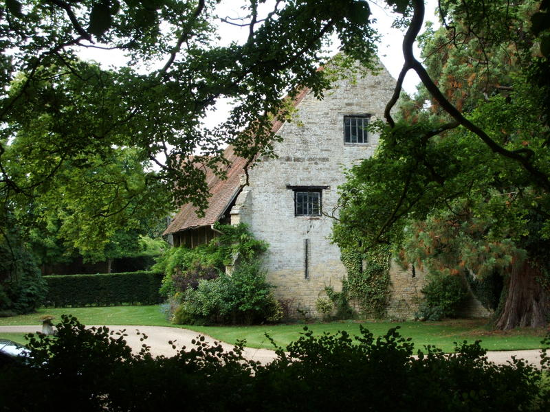
Despite these changes, Whittlewood remains a landscape with high archaeological potential, and well documented too by virtue of its former status as a royal forest, the administration of which generated its own records, and because both lay and ecclesiastical lords held land here (Pettit 1968; Elvey 1968-75; Salter 1921; Salter 1935). An interdisciplinary approach to its study has been taken. In terms of archaeology, old coppice banks have been mapped within the wooded areas. Stretches of medieval deer park pales also survive. Large areas of pasture have preserved elements of earlier field systems in the form of ridge and furrow (Figure 4), and also settlement earthworks available for survey. Where these have been destroyed, earlier settlement and land-use patterns can be reconstructed through the recovery of artefact spreads from the surface of ploughed fields. The identification of peat and other mineralised deposits both within and just outside the area has enabled a partial palaeoenvironmental record of vegetation change to be established. It has proved possible to survey both internally and externally the majority of pre-1700 buildings (Figure 5) as well as the medieval churches. Owners of private houses in Whittlewood, who kindly allowed their properties to be inspected, have requested that plans and photographs of interiors should not be reproduced. Therefore the unpublished reports are not included within the digital archive. The area is also rich in documentation, comprising collections of forest records, taxation records, manorial records including account rolls, court rolls and surveys, and charters recording grants of land to both secular and ecclesiastical landholders (see all Historical Records in digital archive). Place-names have offered a further fruitful avenue of research, while the area also benefits from a good series of maps of 17th-, 18th- and 19th-century date.
Extensive and varied as the sources are, each remains individually incomplete. Documents have not survived; it has proved impossible to walk every available ploughed field systematically, to survey every earthwork or woodland, to excavate within every village core, or to examine every building in detail. Nevertheless, over the five years that the area has been subject to intensive investigation, large quantities of data have been generated. What follows is one reading of the evidence, provided in the full knowledge that alternative, but equally valid, interpretations could also be made.
© Internet Archaeology
URL: http://intarch.ac.uk/journal/issue19/5/2.2.cfm
Last updated: Mon Sep 4 2006