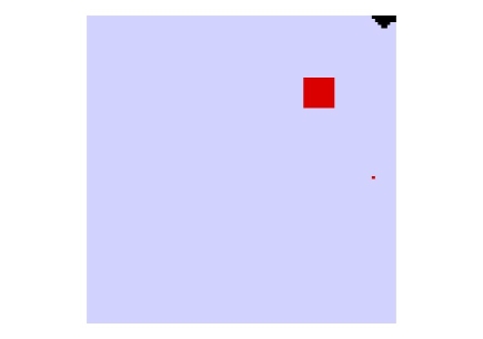
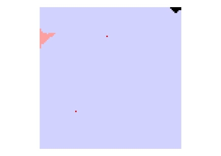
Select a link to show the image
ADI 1 | ADI 2 | ADI 3 | ADI 4 | ADI 5 | ADI 6 | ADI 7 | ADI 8 | ADI 9 | ADI 10 | ADI 11 | ADI 12 | ADI 13 | ADI 14 | ADI 15 |
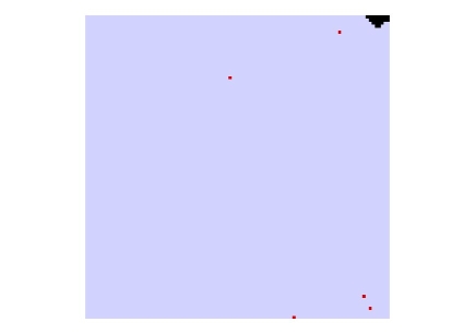
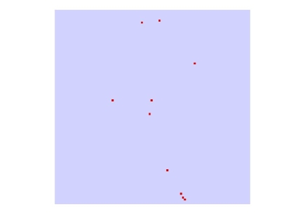
As a result of carrying out the various processes detailed in section 3, 15 ADIs were produced. These can be viewed by selecting the appropriate link below.
Select a link to show the image
ADI 1 | ADI 2 | ADI 3 | ADI 4 | ADI 5 | ADI 6 | ADI 7 | ADI 8 | ADI 9 | ADI 10 | ADI 11 | ADI 12 | ADI 13 | ADI 14 | ADI 15 |
These derived data have value themselves for determining the distribution of artefact types over an area, and are key to the DCADI process. However, the real test has been to produce the DCADI.
This version is the one that fulfils all the main criteria this project hoped to achieve. It uses only one layer and it is possible to map this DCADI in a variety of ways, dependent on the choice of which ADI field to colour map on. In addition, at any point it is also possible to see all the ADI values for any given 100 metre square, allowing users to make their own interpretations of the data.
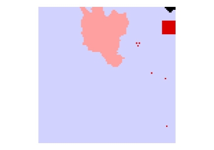
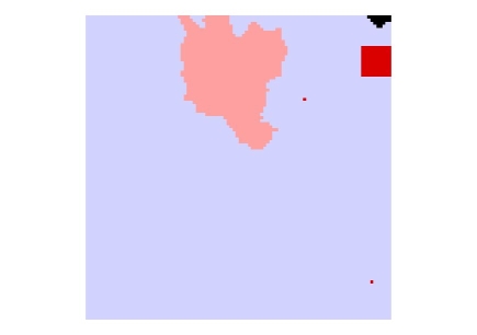
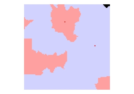
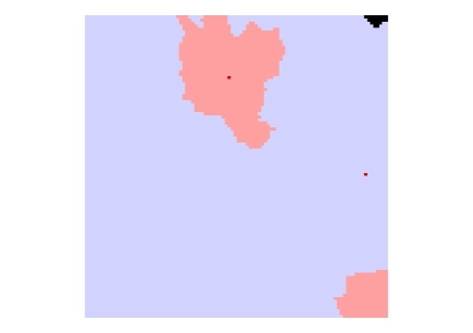
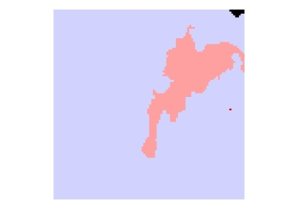
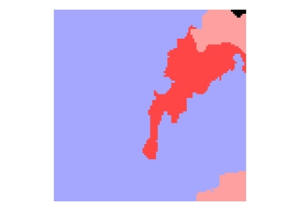
It is also possible to create other types of DCADI, two examples of which have been included, one which involves summing all the Medieval Period ADIs (Figure 13) and another which sums all the Dress and Personal accessories ADIs together (Figure 14). These are examples showing options which could be explored as possibly having more value in different DC contexts. For example, it has been shown that that certain types and periods of archaeological remains are not always found by some types of assessment or evaluation (Hey and Lacey 2001). By using combinations of ADI values to develop the DCADI mapping, it might be possible to try and counteract this problem to some extent.
However, the preparation of this type of ADI was more involved than the others, and involved various stages of exporting and importing between programs to achieve the final version and while it might be possible to simplify this to some extent, it is still a more complex process.
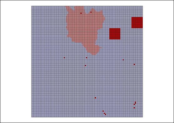
Figure 13: An example of the DCADIV4 mapping on a field which totals all the medieval ADIs
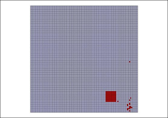
Figure 14: An example of the DCADIV4 mapping on a field which totals all the Dress and Personal accessories ADIs
© Internet Archaeology
URL: http://intarch.ac.uk/journal/issue21/1/4.html
Last updated: Wed April 25 2007