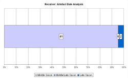
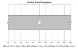
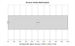
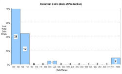
Fingerprint charts for i) artefact date analysis, ii) artefact type analysis, iii) artefact metal analysis and iv) coins – date of production


References: Rigold and Metcalf 1984; Metcalf 1988
Archives:
http://ads.ahds.ac.uk/catalogue/search/fr.cfm?rcn=EHNMR-639303
http://ads.ahds.ac.uk/catalogue/search/fr.cfm?rcn=EHNMR-639304
http://ads.ahds.ac.uk/catalogue/search/fr.cfm?rcn=EHNMR-639305
Reculver is in a coastal location, 2km east of Hearne Bay, and surrounded by the Thames-side marshes. It is the site of the Saxon shore fort Regulbium, which guarded the north end of what were then the broad waters of the Wantsum Channel, an important shipping channel separating the Isle of Thanet from the rest of Kent.
Following the end of Roman occupation the Anglo-Saxon kings based themselves at Reculver, and in c. AD 669 a church was erected on the site of the fort, and King Ecgberht of Kent granted land for the foundation of a monastery there. King Hlothhere of Kent presided over a council at Reculver in 679, attended by Archbishop Theodore of Canterbury, at which he granted the monastery lands in the western part of Thanet. In the original 7th-century charter recording this grant, Reculver is referred to as a 'civitas', indicating the importance of the site.
Coastal erosion means that the church ruins are now on the edge of the cliff, and at least 65 sceattas were recovered as a result of the erosion of the coastline in the 17th and 18th centuries, but only a handful of broad pennies. The 'productive site' seems closely connected to the minster church, and its role in the control and promotion of trade and exchange. The VASLE dataset is based upon the EMC records only.
Fingerprint charts for i) artefact date analysis, ii) artefact type analysis, iii) artefact metal analysis and iv) coins – date of production


© Internet Archaeology/Author(s)
URL: http://intarch.ac.uk/journal/issue25/2/4.4.45.html
Last updated: Tues Apr 21 2009