L – P: Archaeology, The Truman Brewery, 91 Brick Lane, London, E1 6QL, UK. Email: [email protected]
Cite this as: Eve, S. 2017 The Embodied GIS. Using Mixed Reality to explore multi-sensory archaeological landscapes, Internet Archaeology 44. https://doi.org/10.11141/ia.44.3
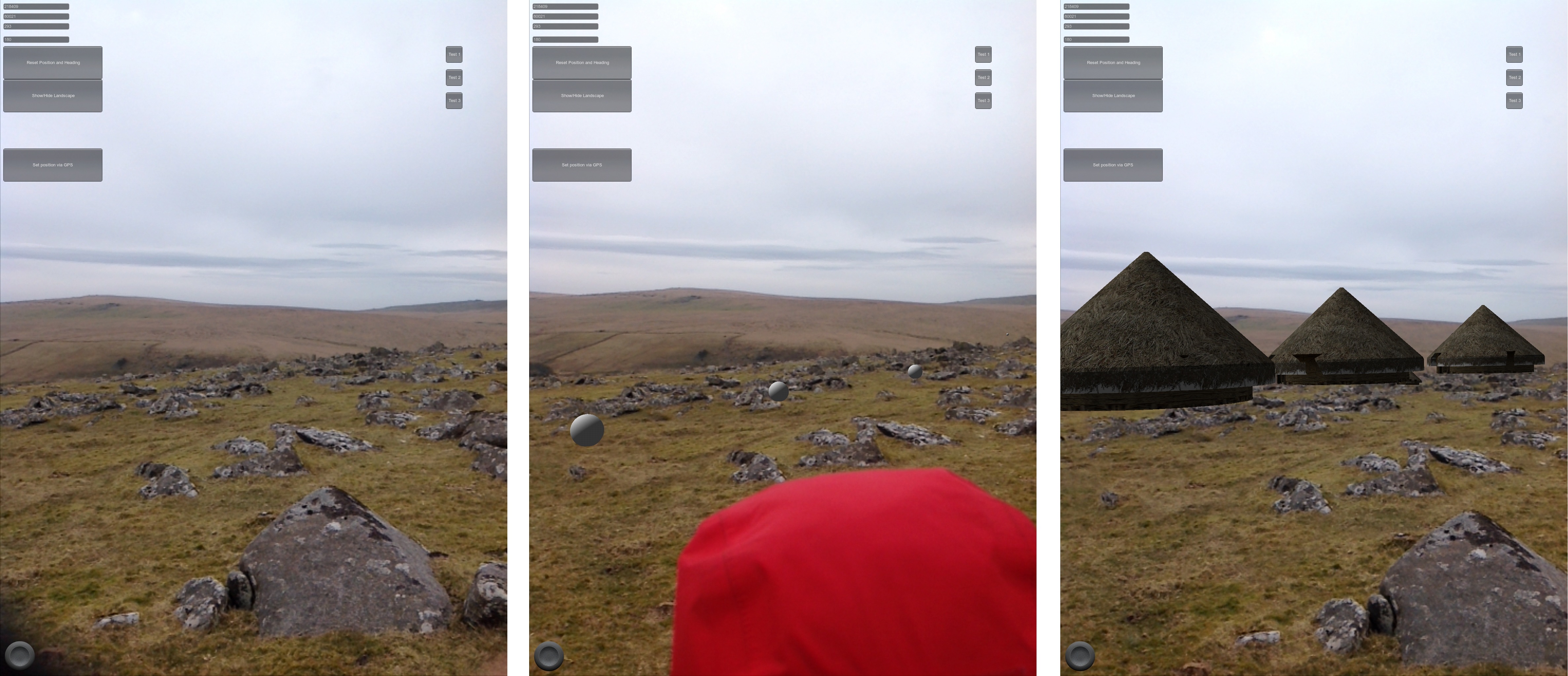
We are at a turning point in development and thought about multi-sensorial engagement using digital mediation. From Oculus Rift VR goggles, Google Cardboard, noise-reducing headphones, vibrating-haptic simulating gloves, smell generators and virtual treadmills, every week a new technology or software emerges that can be used to virtualise, augment or diminish our reality, across all of our senses. In many cases these technologies have been used by archaeologists or museum professionals to didactically present or reconstruct archaeological sites or artefacts. However, Mixed Reality is rarely used to actively explore or analyse archaeological sites.
This article explores a number of ways that these new multi-sensory developments can be harnessed and linked to a traditional GIS database using Mixed Reality. Through the example of three different sensory applications, I will demonstrate the implementation of an embodied GIS – allowing a multi-sensorial experience of archaeological data in situ, and enabling archaeologists to explore data in new ways, encouraging new interpretations by thinking and working through the body.
Go to article Table of Contents.