Figure 1: The River Trent: location and topographic context. © Crown Copyright Ordnance Survey. An EDINA Digimap/JISC supplied service.
Figure 2: Surface-visible palaeochannels near Newark-on-Trent, Nottinghamshire; spatial correspondence between the aerial visibility of palaeochannel features and the drift-geological zone defined by fine-grained alluvium and Flandrian/Devensian (floodplain) gravel terraces. Base map © Crown Copyright Ordnance Survey. An EDINA Digimap/JISC supplied service Drift geology: (Licence number IPR/81-32C) British Geological Survey - http://www.bgs.ac.uk © NERC. All rights reserved.
Figure 3: The palaeochannel survey area, defined by the extent of floodplain alluvium and gravel terrace deposits. Base map © Crown Copyright Ordnance Survey. An EDINA Digimap/JISC supplied service.
Figure 4: The Trent-Derwent confluence, Derbyshire/Leicestershire. Rectified aerial photograph in map context showing surface-visibility of fluvial features. Base map © Crown Copyright Ordnance Survey. An EDINA Digimap/JISC supplied service Photograph © Simmons Aerofilms Ltd.
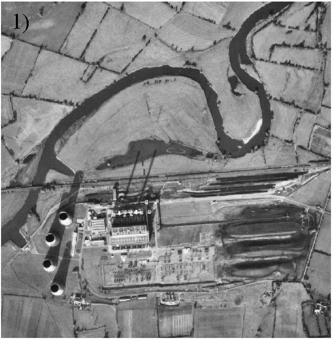
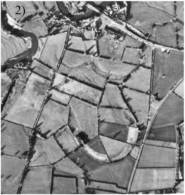
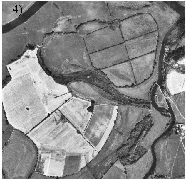
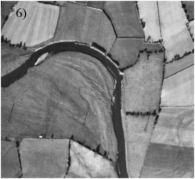
Figure 5: Visibility of palaeochannels and ridge-and-swale topography from the air, showing the six 'forms' recorded in the survey: 5.1 standing water (Castle Donington, Leicestershire), 5.2 floodplain depressions (Hemington, Leicestershire), 5.3 cropmarks (Marston-on-Dove, Derbyshire), 5.4 bands of vegetation (Trent-Soar confluence, Leicestershire), 5.5 linear boundary features (Long Eaton, Derbyshire), 5.6 ridge-and-swale topography (Foremark, Derbyshire). All photographs © Simmons Aerofilms Ltd.
Figure 6: Surface-visible palaeochannels around the Trent-Derwent and Trent-Soar confluences, showing the distribution of recorded forms. Base map © Crown Copyright Ordnance Survey. An EDINA Digimap/JISC supplied service. [Image uses Zoomify]
Figure 7: Palaeochannels in the upland zone (Weston, Staffordshire). Narrow valley and floodplain, with few surface-visible palaeochannels. Base map © Crown Copyright Ordnance Survey. An EDINA Digimap/JISC supplied service.
Figure 8: The upper middle valley (Trent/Derwent confluence, Derbyshire and Leicestershire). Broad gravel terrace landscape around confluence, with many relatively small palaeochannels. Base map © Crown Copyright Ordnance Survey. An EDINA Digimap/JISC supplied service.
Figure 9: The lower middle valley (Cromwell, Nottinghamshire). Alluvium and gravel terrace; fewer but larger palaeochannels. Base map © Crown Copyright Ordnance Survey. An EDINA Digimap/JISC supplied service.
Figure 10: The perimarine zone (Amcotts, North Lincolnshire). Very broad and deep alluvial spreads; few surface-visible palaeochannels. Base map © Crown Copyright Ordnance Survey. An EDINA Digimap/JISC supplied service.
Figure 11: The Trent at Sawley, Derbyshire, showing changes in the surface-visible palaeochannel resource between 1946 and 1971. Top: Sinuous palaeochannels (a, b) and ridge-and-swale topography (c) visible in 1946 where winter flooding has filled depressions in floodplain grassland. Bottom: Conversion of floodplain grassland to arable fields means that a) and b) are no longer visible. Ridge and swale (c) partly destroyed by construction of the M1. Photographs (top) English Heritage (NMR) RAF photography (bottom) © Simmons Aerofilms Ltd.
Figure 12: Surface-visible palaeochannels around the Trent-Soar and Trent-Derwent confluences (Derbyshire/Leicestershire), showing the extent of worked, infilled and made ground mapped by the British Geological Survey in 2000, and palaeochannel features wholly or partly destroyed to 2000. Base map © Crown Copyright Ordnance Survey. An EDINA Digimap/JISC supplied service 'Artificial' geology: (Licence number IPR/81-32C) British Geological Survey - http://www.bgs.ac.uk © NERC. All rights reserved.
Table 1: Summarised form data for recorded palaeochannels in the Trent Valley
Table 2: Summary by county: drift geological characteristics of the project area within each county; area covered by palaeochannels within each county; density of palaeochannels within each county.
Table 3: Spatial variation in the palaeochannel record in four broad landscape zones along the Trent.