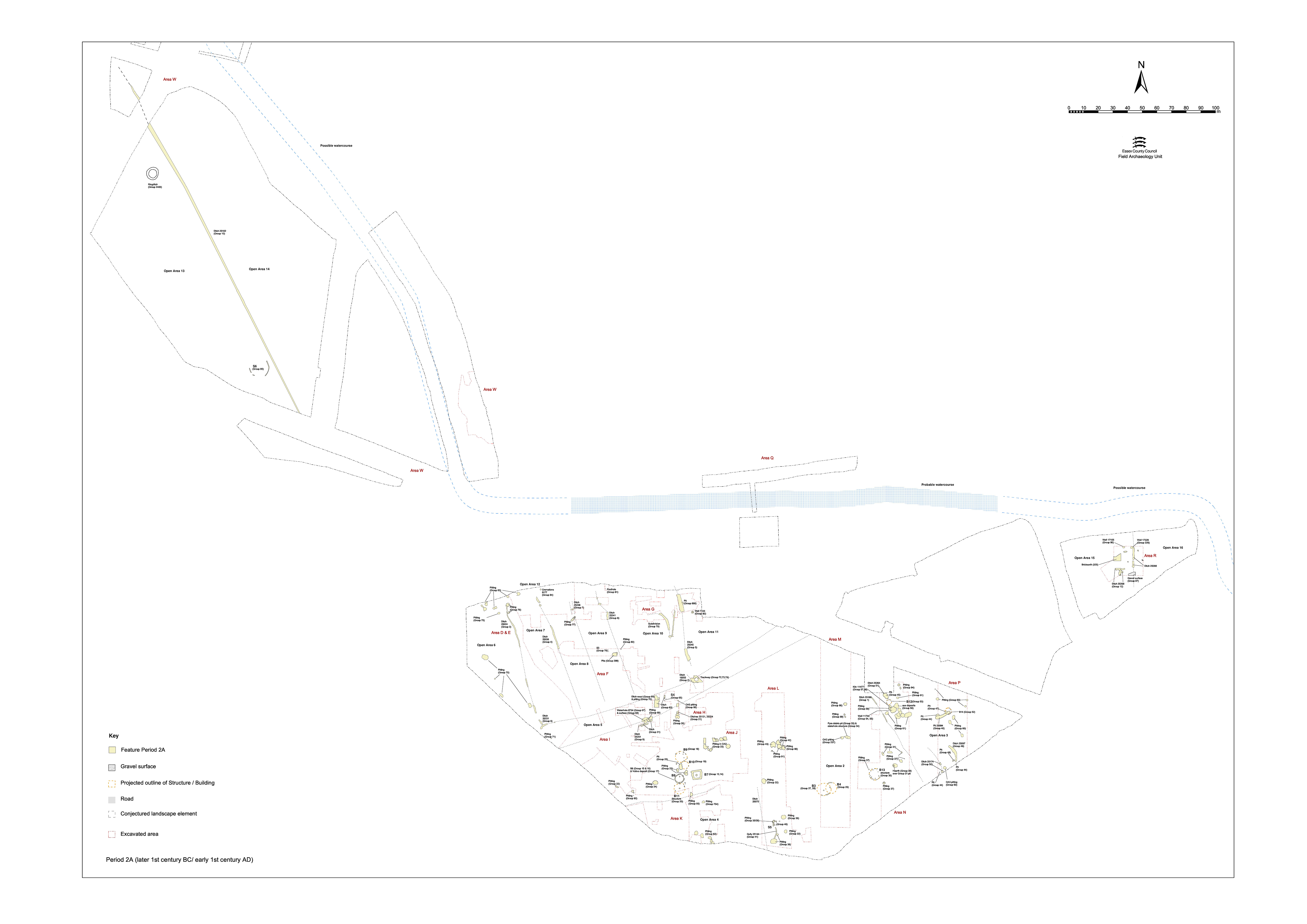
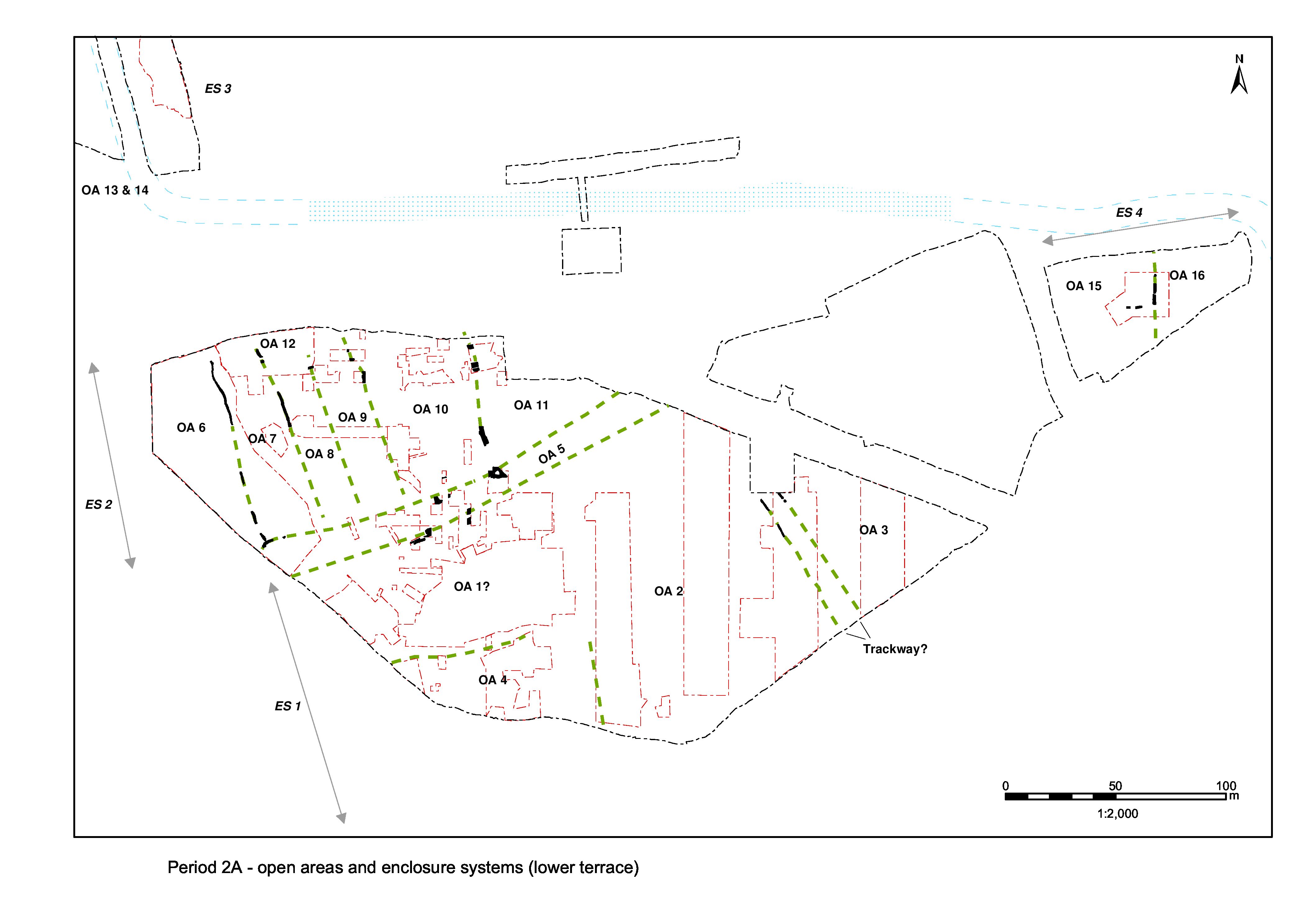
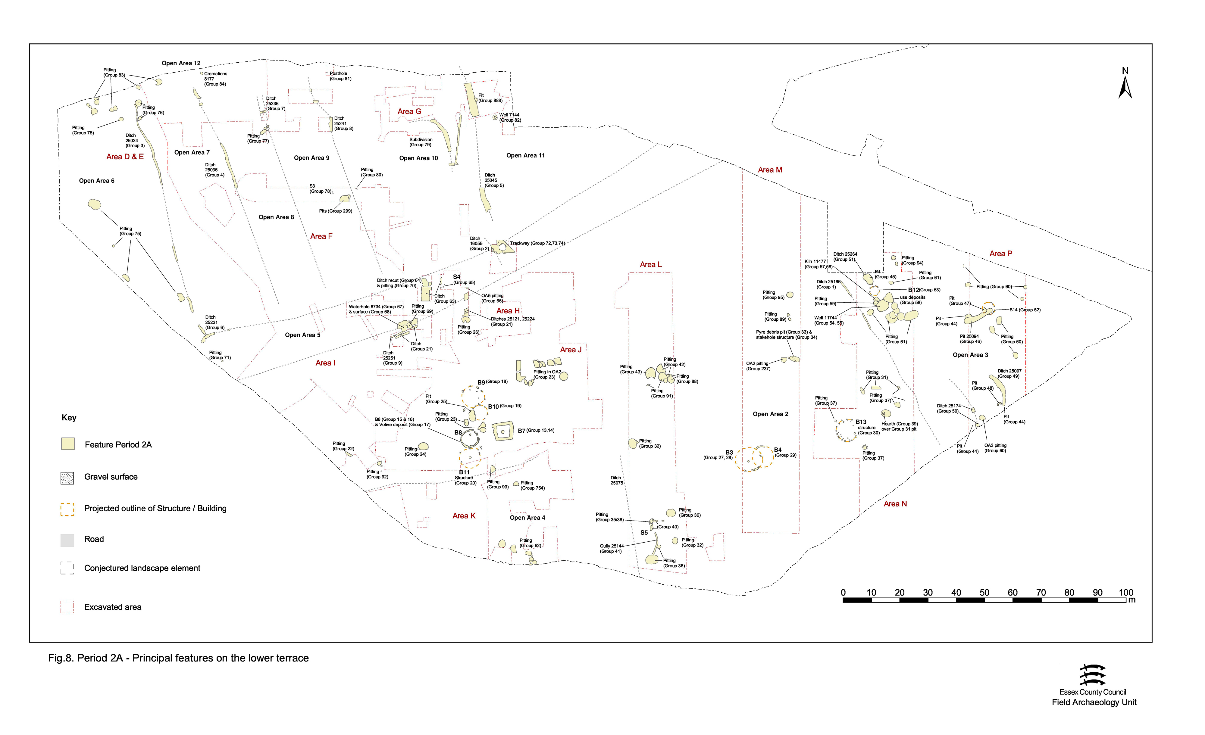
The easternmost established extent of ES1 lies within Excavation Area Q, where north-south ditch 25098 defines the boundary between two presumed enclosures (Figures 5 and 8) - Open Areas 15 and 16. The other limits of these land entities are not determined, but the watercourse seems a good candidate to the north and east.
Period 2A remains occupying the enclosure interiors are, to some extent, separated from those of Period 2B by a layer of disturbed and dirty brickearth - reworked in situ, rather than redeposited. Limited to a ditch and two wells within OA15, the intensity and nature of land-use in this part of the lower terrace is difficult to assess.
Circular (1.70m diameter) cut 17155 is interpreted as representing a well (Group 86). It was not excavated beyond a 1.73m depth because of flooding, but its size and profile compare favourably with the more certain example of a Late Iron Age well (7220 Group 82). Although the relatively complex sequence of fills defined a gravel packing deposit around a 'shaft' of silt fills, no internal timber structure was encountered. The upper fills seemed to be a mixture of deliberate attempts to cap the shaft and consolidate areas of slump.
Limited excavation meant that all the excavated fills relate to the disuse of Well 3. These contained large quantities of pottery, together with small amounts of bone. The pottery assemblage contains, in addition to the large quantity of grog-tempered pottery, a salazon amphora and Gallo-Belgic pottery, which suggest that filling commenced during or after the late 1st century BC. The absence of Roman wares suggests that deposition is unlikely to have continued beyond the middle of the 1st century AD. A copper-alloy brooch fragment (SF5963), cast waste and slag were also collected. A complete pot was found in shaft fill (17070), but it is unlikely that this single artefact constituted a 'structured deposit'.
A little to the east, a large cut 17329 (Group 326), which was over 2m in diameter, and which apparently bottomed at 0.8m, cut through the northern terminal of ditch 25098 (Group 12 ES4). On the evidence of the cross-section of this feature, it may have been the under-excavated top of another well, similar to adjacent Well 17155. The excavated fills produced little material other than Late Iron Age pottery and a clearly intrusive later 3rd century coin (SF7455). However, the pottery assemblage comprises grog-tempered pottery, amphora and Gallo-Belgic wares that date the filling of the pit to the late 1st century BC-early 1st century AD.
Small expanses of gravel (17074, 17143, 17231, 17232, 17233 Group 87), dated to a broad Late Iron Age date, probably no earlier than the late 1st century BC, were observed, sandwiched between underlying natural brickearths and subsequent deposits of redeposited brickearth. They appeared to form parts of an intentional, metalled gravel surface though a natural origin cannot be completely dismissed. Survival was too patchy to speculate further if these deposits were elements of one larger contemporary surface, or on its function.
Period 2A is seemingly concluded by the creation of a brickearth deposit (17080, 17194, 17201, 17244, 17245, 17294, 17319 Group 325) lying in both OA15 and OA16 and sealing ditch 25098 (Group 12). In the field, this dirty brickearth was speculated to be the product of flooding. It is uncertain whether the formation of this deposit involved real deposition or merely the churning and reworking of underlying natural material, though the latter seems more likely. The ample finds from these contexts (including nearly 350 sherds of pot, fragments of loomweight, flints, a quern fragment, etc.) are mid-1st century AD in date - which might reflect the date of this reworking episode.
Ditch 25268 (segs 17401, 17324) is overlain by the reworked brickearth deposit (Group 325). Although slighter than adjacent enclosure boundary ditch 25098, at only a maximum of 0.8m wide and 0.25m deep, 25268 probably continued further east, but it was difficult to distinguish its brickearth fills from the overlying brickearth deposits and the underlying natural.
It is probable that 25098 constituted the major land boundary and 25268 a subdivision, or even a drainage channel. Both 25098 and 25268 contained fragments of loomweight, pottery and animal bone in small quantities. Also present was ostensible evidence of metalworking in the form of slag, ?hammerscale and a 'lump' of copper alloy. The pottery was consistent with a Late Iron Age date for the infilling of this ditch.
No Period 2A features are seen in the investigated part of the OA16 interior, other than the surfacing (Group 325) noted above in OA15.
Internet Archaeology is an open access journal based in the Department of Archaeology, University of York. Except where otherwise noted, content from this work may be used under the terms of the Creative Commons Attribution 3.0 (CC BY) Unported licence, which permits unrestricted use, distribution, and reproduction in any medium, provided that attribution to the author(s), the title of the work, the Internet Archaeology journal and the relevant URL/DOI are given.
Terms and Conditions | Legal Statements | Privacy Policy | Cookies Policy | Citing Internet Archaeology
Internet Archaeology content is preserved for the long term with the Archaeology Data Service (ROR). Help sustain and support open access publication by donating to our Open Access Archaeology Fund.