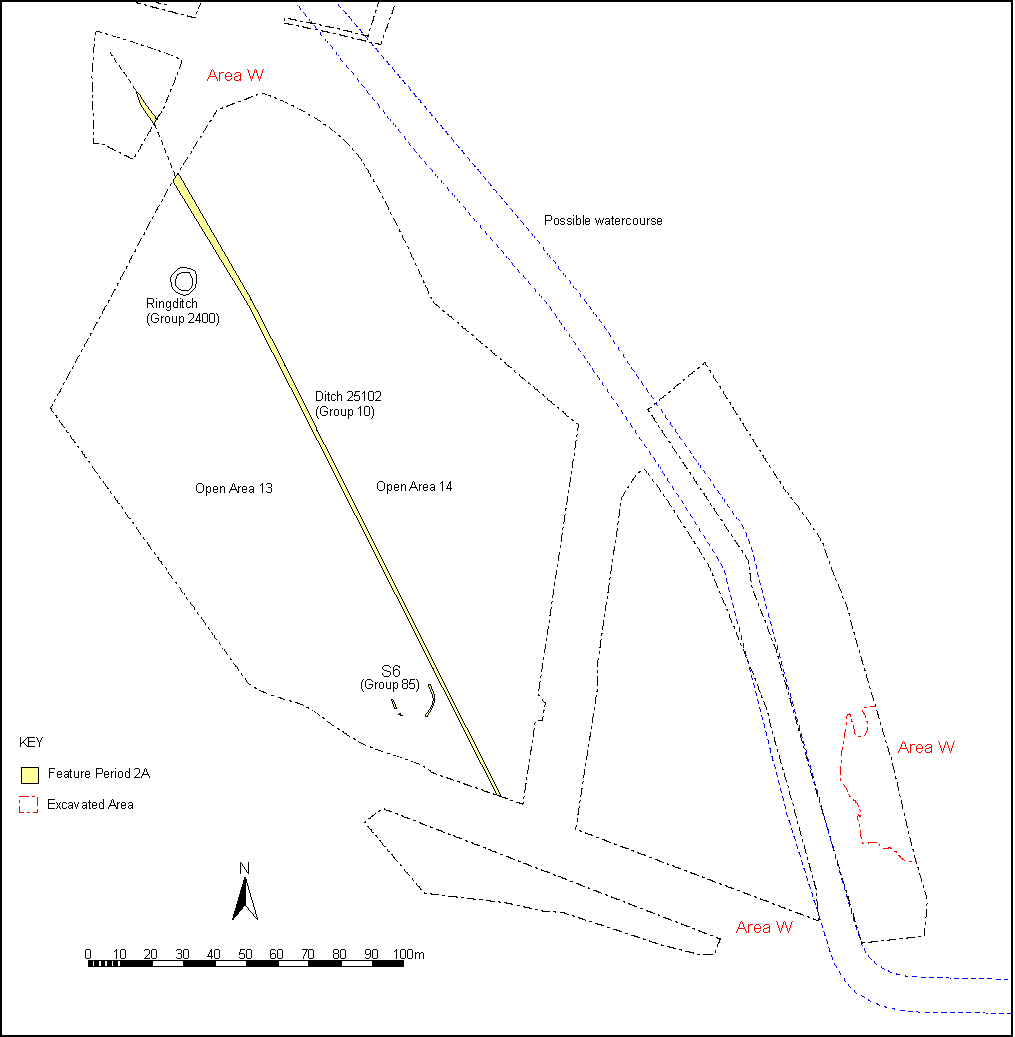
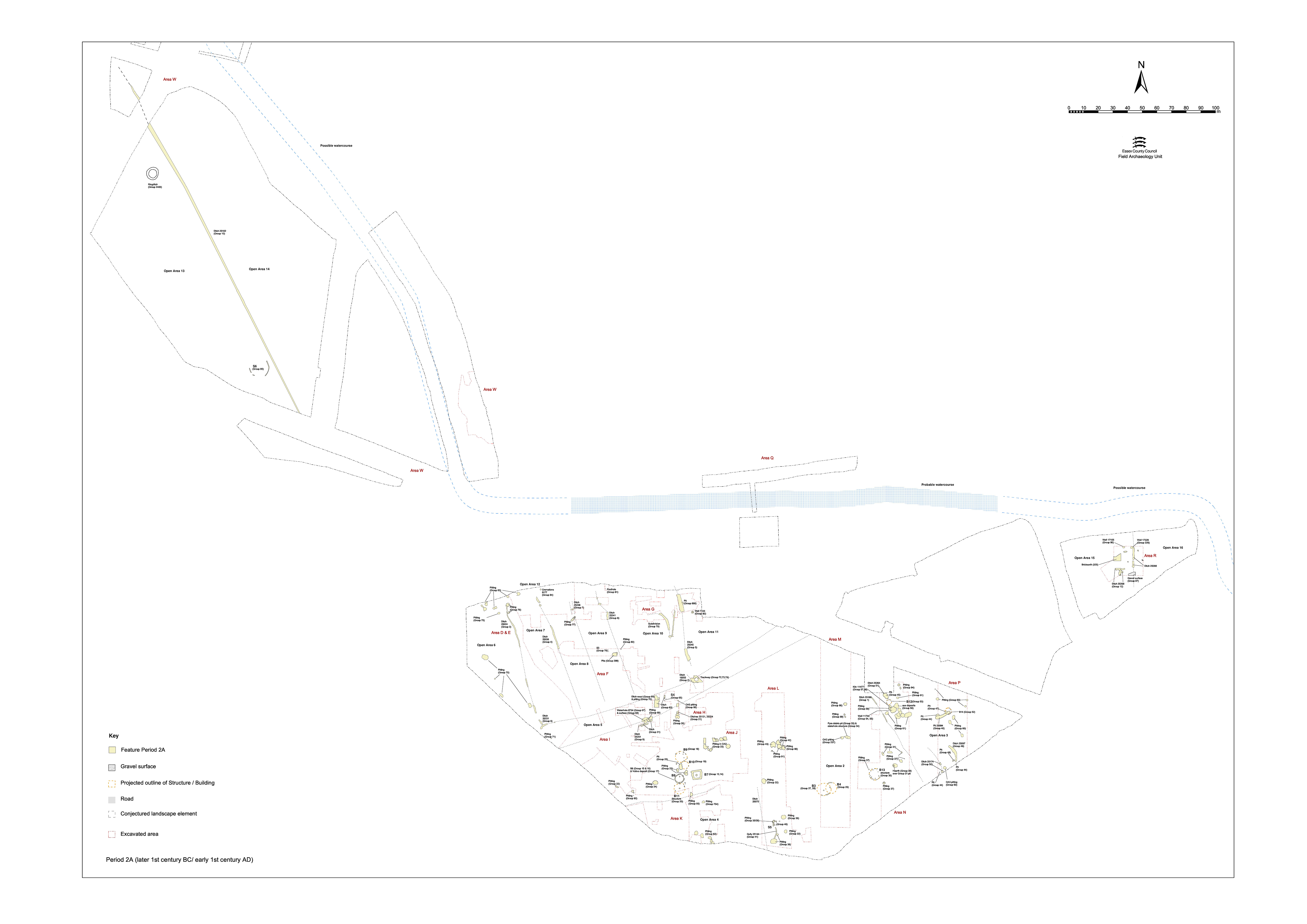
Ditch 25102 defines the boundary between Open Areas 13 and 14, to its west and east respectively (Figure 5 and Figure 27). These two large land entities are presumably bounded to the south by the upper terrace edge. No western or northern limits are established, though OA14 presumably only extends eastward as far as the posited northward course of the watercourse.
The upper terrace landscape appears to be sparsely occupied, with only a single structure, of unknown function, occupying OA13 during Period 2A. This is not to say that it is not actively exploited by the population settled on the lower terrace.
No Period 2A activity is identified further east along the upper terrace, where investigated within Excavation Area R.
Curving gully 25230 survives post-medieval plough truncation only as a very insubstantial and intermittent ring. Although planned, it proved impossible to investigate by excavation. The feature is consequently undated. The gully is only c. 0.3-0.4m wide and encloses a projected circle of approximately 13m diameter. It is located just west of boundary ditch 25102 and is very tentatively associated with it.
Although judged to belong in Period 2B, cremation burial 2379 Group 315 lies just within the projected circumference of the ring-gully. It is possible that Structure 6 represents the position of a ploughed-out mound or mortuary enclosure, into the edge of which the earliest of the Late Iron Age funerary features is inserted. However, though less likely, it remains possible that the ring-gully represents the eaves-drip gully of an unrelated structure.
OA14 contains no discernible features related to occupation. However, it remains possible that this area could have been farmed, grazed or in fact been wooded. The published report (Atkinson and Preston 2001) noted apparent burnt tree root holes to be present across the upper terrace for the prehistoric phases that could equally denote Late Iron Age land clearance activity.
Internet Archaeology is an open access journal based in the Department of Archaeology, University of York. Except where otherwise noted, content from this work may be used under the terms of the Creative Commons Attribution 3.0 (CC BY) Unported licence, which permits unrestricted use, distribution, and reproduction in any medium, provided that attribution to the author(s), the title of the work, the Internet Archaeology journal and the relevant URL/DOI are given.
Terms and Conditions | Legal Statements | Privacy Policy | Cookies Policy | Citing Internet Archaeology
Internet Archaeology content is preserved for the long term with the Archaeology Data Service (ROR). Help sustain and support open access publication by donating to our Open Access Archaeology Fund.